- Chehalem Mountains
-
Chehalem Range Range 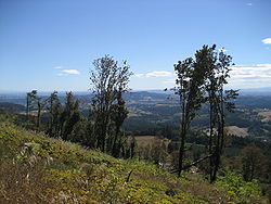 Southeast from Bald Peak.
Country United States State Oregon Borders on Oregon Coast Range Highest point Bald Peak - elevation 1,629 ft (497 m) - coordinates 45°23′46″N 123°03′18″W / 45.39611°N 123.055°W Length 200 mi (322 km), Northwest-Southeast The Chehalem Mountains are a mountain range located in the Willamette Valley in the U.S. state of Oregon. Forming the southern boundary of the Tualatin Valley, the Chehalems are the highest mountains in the Willamette Valley. Composed of a single land mass that was uplifted by tectonic forces, the mountain range includes several spurs and ridges such as Parrett Mountain, Ribbon Ridge, and Bald Peak.[1] The range extends from the Willamette River east of Newberg northwest to the foothills of the Oregon Coast Range south of Forest Grove. The highest peak in the Chehalem Mountain Range is Bald Peak, rising to 1,629 feet (497 m),[2] which is also the highest peak point within the Willamette Valley.[1]
The word "Chehalem" is a corruption of the Atfalati Indian word "Chahelim," a name given in 1877 to one of the bands of Atfalati.[2]
See also
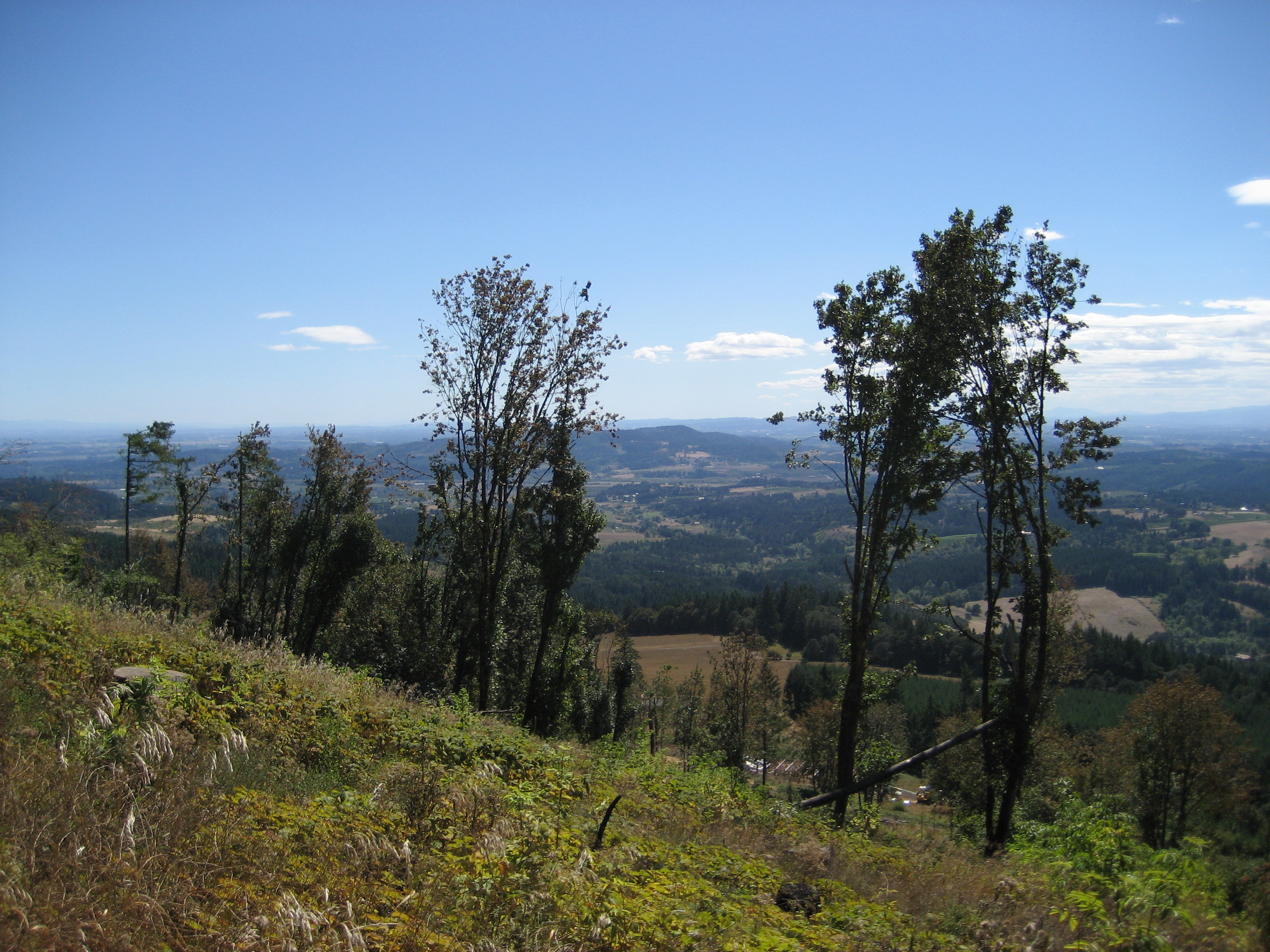
- Picture of southern flank of the range
- Bald Peak State Scenic Viewpoint
- Ribbon Ridge AVA
- Chehalem Mountains AVA
References
- ^ a b Chehalem Mountains now official wine area. Portland Business Journal, December 27, 2006.
- ^ a b McArthur, Lewis A.; Lewis L. McArthur (2003) [1928]. Oregon Geographic Names (Seventh Edition ed.). Portland, Oregon: Oregon Historical Society Press. ISBN 0-87595-277-1 (trade paperback), ISBN 0-87595-278-X (hardcover).
External links
 Media related to Chehalem Mountains at Wikimedia Commons
- The Oregonian
- Metro
- Map
Categories:- Mountain ranges of Oregon
- Landforms of Washington County, Oregon
- Landforms of Yamhill County, Oregon
Wikimedia Foundation. 2010.