- Chollerford Bridge
-
Coordinates: 55°01′44″N 2°07′37″W / 55.029°N 2.127°W
Chollerford Bridge 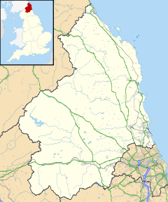
 Chollerford Bridge
 Chollerford Bridge shown within Northumberland
OS grid reference NY918705 List of places: UK • England • Northumberland Chollerford Bridge is a stone bridge that replaced an earlier medieval bridge crossing the River North Tyne[1] at Chollerford, Northumberland, England. Hadrian's Wall crossed the river to Chesters fort on a multi-arched stone bridge about 700m (650yds) to the southeast.
References
Next bridge upstream River North Tyne Next bridge downstream Wark Bridge
(minor road)Chollerford Bridge Chesters Bridge
(Ruined Roman Bridge)Categories:- Bridges in Northumberland
- Crossings of the River Tyne
- Northumberland geography stubs

Wikimedia Foundation. 2010.