- Jaroměř
Geobox | Settlement
name = Jaroměř
other_name =
category = Town
image_caption =
 | flag_border = 1
symbol = Jaroměř_znak.png
official_name =
motto =
nickname =
country = Czech Republic
country_
state =
region = Hradec Králové
region_type = Region
district = Náchod
district_type = District
commune = Jaroměř
municipality =
part =
river = Elbe
location =
elevation = 254
lat_d = 50
lat_m = 21
lat_s = 01
lat_NS = N
long_d = 15
long_m = 55
long_s = 06
long_EW = E
highest =
highest_elevation =
highest_lat_d =
highest_long_d =
lowest =
lowest_elevation =
lowest_lat_d =
lowest_long_d =
area = 23.95
area_round = 2
population = 13010
population_date = 2006-07-03
population_density = auto
established = 11th century
established_type = First mentioned
mayor = Jiří Klepsa
timezone =
map_background = Czechia - background map.png
map_locator = Czechia
commons = Jaroměř
statistics = [http://www.statnisprava.cz/ebe/ciselniky.nsf/i/574121 statnisprava.cz]
website = [http://www.jaromer-josefov.cz// www.jaromer-josefov.cz/]
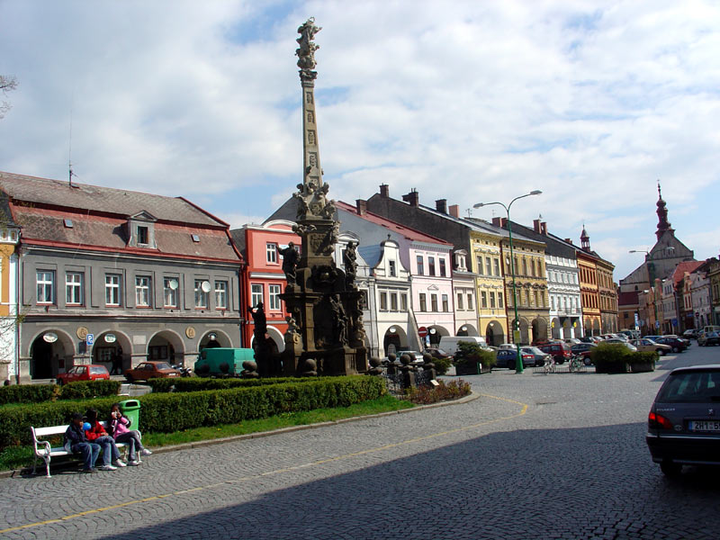
footnotes =Jaroměř (IPA2|ˈjaromɲɛr̝̊) is a town in the Hradec Králové Region of the
Czech Republic .It includes the
Fortress Josefov .Sister cities
*
Warrington ,United Kingdom
*Ziębice ,Poland External links
* [http://www.jaromer-josefov.cz/ Municipal website (in Czech)]
* [http://www.josefov.com/ Fortress Josefov (česky/deutsch/english)]
* [http://www.jaroforum.cz/ Discussion Board of the City of Jaroměř (in Czech)]


Wikimedia Foundation. 2010.