- Maromaku
-
Maromaku 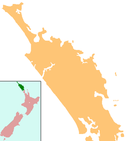
 Maromaku
Coordinates: 35°28′50″S 174°5′46″E / 35.48056°S 174.09611°ECoordinates: 35°28′50″S 174°5′46″E / 35.48056°S 174.09611°E Country New Zealand Region Northland Region District Far North District Maromaku is a locality in the Northland Region of the North Island of New Zealand. State Highway 1 passes just to the east. Kawakawa is north, and Towai is southeast.[1][2]
Education
Maromaku School is a decile 3 coeducational primary school (years 1-8) with a roll of 54.[3] Towai Primary School closed in January 2005, with students moving to Maromaku School.[4]
References
- ^ Peter Dowling (editor) (2004). Reed New Zealand Atlas. Reed Books. pp. map 5. ISBN 0-7900-0952-8.
- ^ Roger Smith, GeographX (2005). The Geographic Atlas of New Zealand. Robbie Burton. pp. map 24. ISBN 1-877333-20-4.
- ^ "Te Kete Ipurangi". Ministry of Education. http://www.tki.org.nz/e/schools/display_school_info.php?school_id=2102.
- ^ "Mergers, Closures and New Schools, January 2005 - December 2005" (XLS). Education Counts. http://www.educationcounts.govt.nz/statistics/schooling/directories/?a=7772.
Categories:- Populated places in New Zealand
- Far North District
- Northland Region geography stubs

Wikimedia Foundation. 2010.