- Diego Ibarra Municipality
-
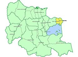
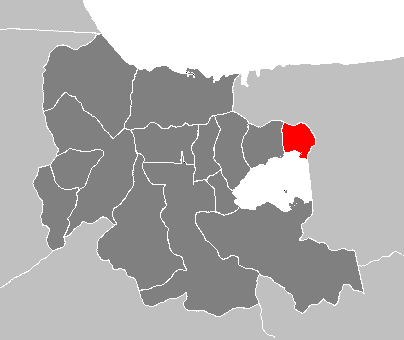
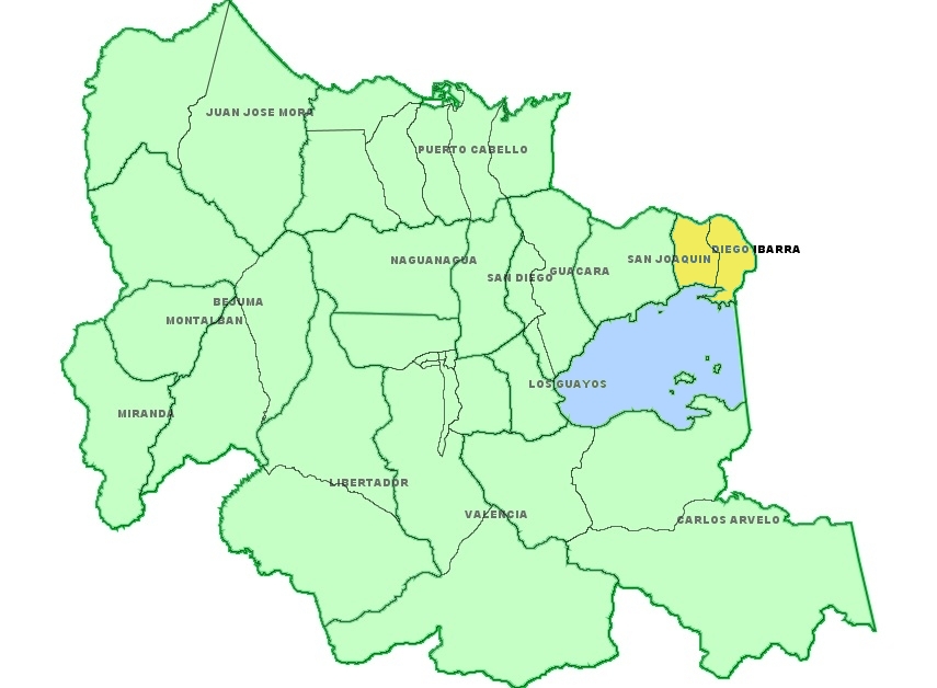
Diego Ibarra — Municipality — Municipio Diego Ibarra Location in Carabobo
Country  Venezuela
State Carabobo Shiretown Mariara Government - Mayor Roger Martinez (PSUV) Area - Total 79 km2 (30.5 sq mi) Population (2007) - Total 110,131 - Density 1,394.1/km2 (3,610.6/sq mi) Time zone VST (UTC-4:30) Area code(s) 0243 Website Official website The Diego Ibarra Municipality is one of the 14 municipalities (municipios) that makes up the Venezuelan state of Carabobo and, according to a 2007 population estimate by the National Institute of Statistics of Venezuela, the municipality has a population of 110,131.[1] The town of Mariara is the shire town of the Diego Ibarra Municipality.[2]
 Diego Ibarra
Contents
Demographics
The Diego Ibarra Municipality, according to a 2007 population estimate by the National Institute of Statistics of Venezuela, has a population of 110,131 (up from 96,983 in 2000). This amounts to 4.9% of the state's population.[3] The municipality's population density is 1,394.06 inhabitants per square kilometre (3,610.6 /sq mi).[4]
Government
The mayor of the Diego Ibarra Municipality is Roger Martinez, elected on November 23, 2008 with 50% of the vote.[5] He replaced Rafael Ruiz Manrique shortly after the elections. The municipality is divided into two parishes; Aguas Calientes and Mariara.[2]
See also
References
- ^ http://www.ine.gob.ve/sintesisestadistica/estados/Carabobo/cuadros/Poblacion6.xls
- ^ a b http://www.ine.gob.ve/secciones/division/Carabobo.zip
- ^ http://www.ine.gob.ve/sintesisestadistica/estados/carabobo/cuadros/Poblacion5.xls
- ^ http://www.ine.gob.ve/sintesisestadistica/estados/carabobo/cuadros/Poblacion4.xls
- ^ http://www.cne.gob.ve/divulgacion_regionales_2008/index.php?e=07&m=00&p=00&c=00&t=00&ca=00&v=02
External links
- diegoibarra-carabobo.gob.ve (Spanish)
Categories:- Municipalities of Carabobo
- Venezuela stubs
Wikimedia Foundation. 2010.