Oost-Vlieland

Oost-Vlieland
Oost-Vlieland
—  Village  —
Country Netherlands Netherlands
Province Friesland Friesland
Population
 - Total c. 1,150

Oost-Vlieland (West Frisian: East-Flylân) is a small — and the only —village on the island of Vlieland in the province Friesland of the Netherlands and has about 1150 citizens. It is situated on the east end of the island as its name indicates: Oost means "east" in Dutch.

Oost-Vlieland is first mentioned in the sources in 1245. First mainly inhabited by poor farmers and fishermen, the settlement became wealthier in the 17th century when the Vlie estuary was used as moorage by the expanding Dutch trade fleets. There used to be a second village on Vlieland, West-Vlieland, but this was destroyed by a flood in 1736.

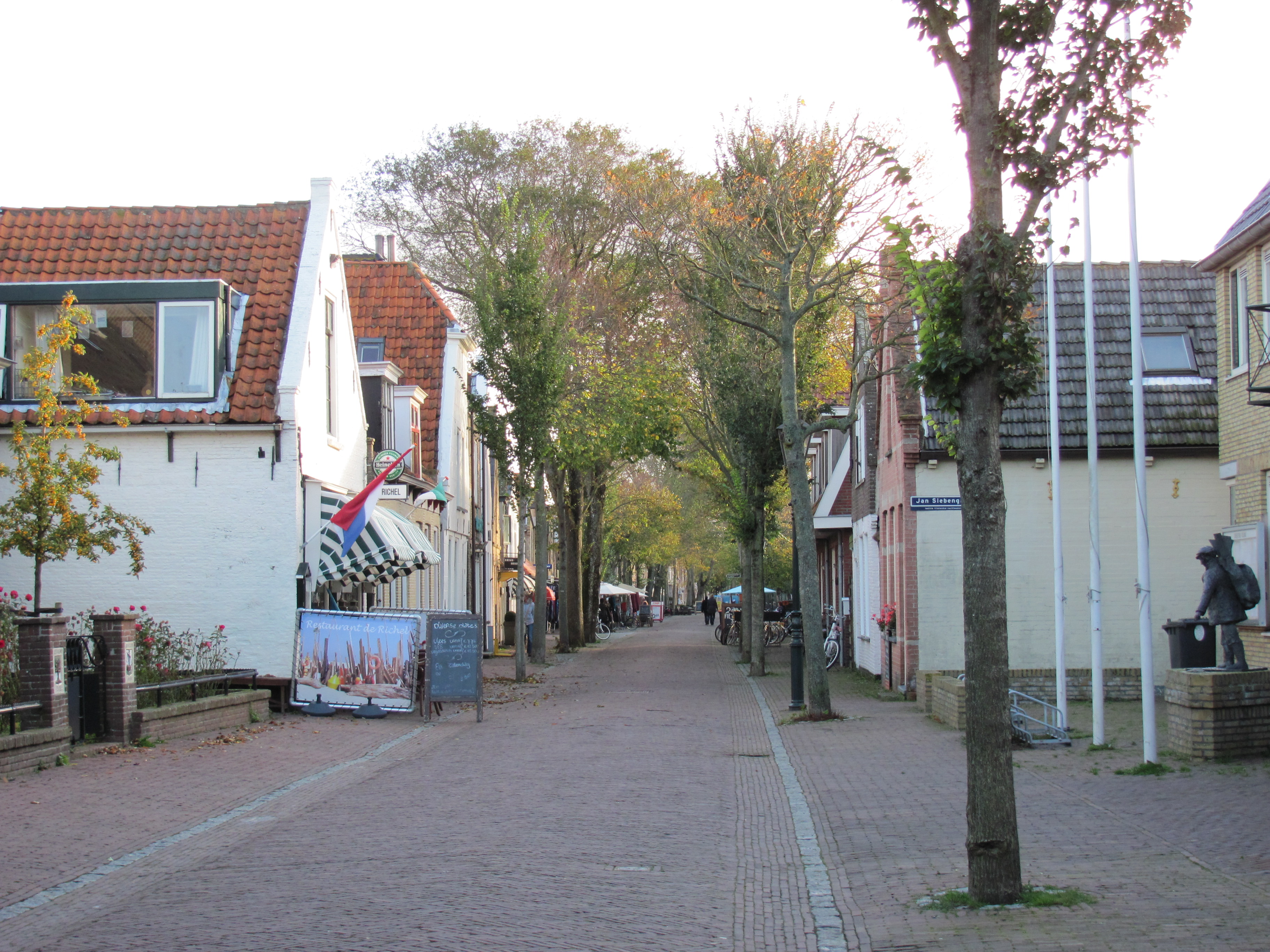
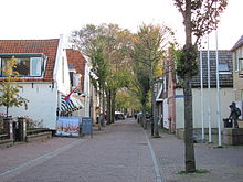
A view along the Dorpsstraat in Oost-Vlieland.
St. Nicolas church (Nicolaas Kerk) in Oost-Vlieland
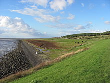
Horse paddocks outside of Oost-Vlieland in Friesland.

Coordinates: 53°17′N 5°04′E / 53.283°N 5.067°E / 53.283; 5.067


Wikimedia Foundation. 2010.

Игры ⚽ Поможем написать реферат

Look at other dictionaries:

  • Oost-Vlieland — 53°17′N 5°04′E / 53.283, 5.067 …   Wikipédia en Français

  • Oost-Vlieland — Original name in latin Oost Vlieland Name in other language East Flylan, East Flyln State code NL Continent/City Europe/Amsterdam longitude 53.29703 latitude 5.07431 altitude 4 Population 1070 Date 2008 01 31 …   Cities with a population over 1000 database

  • Oost Vlieland — Sp Òst Vlilandas Ap Oost Vlieland L Nyderlandai …   Pasaulio vietovardžiai. Internetinė duomenų bazė

  • Vlieland — Héraldique …   Wikipédia en Français

  • Vlieland (gemeente) — Vlieland Vlieland …   Wikipédia en Français

  • Vlieland (île) — Vlieland Vlieland …   Wikipédia en Français

  • Vlieland — / Flylân (Bandera de Vlieland) …   Wikipedia Español

  • Vlieland — Gemeinde Vlieland Flagge Wappen Provinz …   Deutsch Wikipedia

  • Vlieland — Infobox Settlement official name = Vlieland mapsize = 280px subdivision type = Country subdivision name = Netherlands subdivision type1 = Province subdivision name1 = Friesland area footnotes = (2006) area total km2 = 315.79 area land km2 = 40.01 …   Wikipedia

  • Holmes's Bonfire — was a raid on the Vlie estuary in the Netherlands, executed by the Royal Navy during the Second Anglo Dutch War on 19 and 20 August 1666. The attack, named after the commander of the landing force, Rear Admiral Robert Holmes, was successful in… …   Wikipedia

Share the article and excerpts

Direct link
Do a right-click on the link above
and select “Copy Link”