- Ligurian Alps
Geobox|Range
name=Ligurian Alps|native_name= _it. Alpi Liguri
image_caption=
country=Italy
region_type=Province
region=
parent=Alps |border=Apennines| border1=Maritime Alps
geology=| period= | orogeny=
area= | length=| length_orientation=
width= | width_orientation=
highest=Punta Marguareis
highest_elevation=2651
highest_lat_d=|highest_lat_m=|highest_lat_s=|highest_lat_NS=N
highest_long_d=|highest_long_m=|highest_long_s=|highest_long_EW=E
(Alpi_liguri)) The Ligurian Alps are a
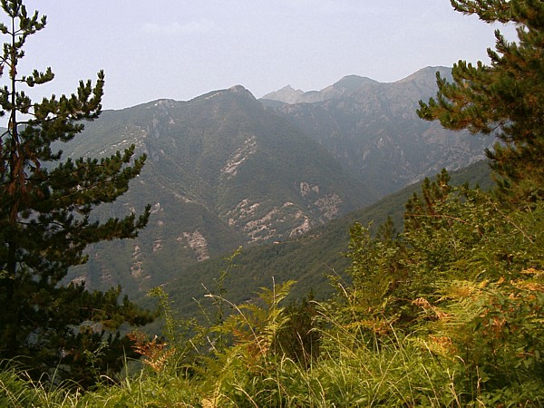
The Ligurian Alps are a mountain range in northwesternItaly . They form the south-western extremity of theAlps , separated from the Apennines by theColle di Cadibona . TheCol de Tende separates them from theMaritime Alps . They form the border betweenPiedmont in the north andLiguria in the south.The Ligurian Alps are drained by the
Tanaro River and other tributaries of thePo River on the Piemontese side; by several smaller rivers that flow directly to theMediterranean Sea on the Ligurian side.The chief peaks of the Ligurian Alps are Punta Marguareis (2651 m) and
Monte Mongioie (2630 m). There are several other peaks over 2000 m. Passes in the Ligurian Alps are listed below.References
Wikimedia Foundation. 2010.