- Mogolo
-
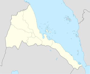
Mogolo Location in Eritrea Coordinates: 15°18′43″N 37°38′31″E / 15.31194°N 37.64194°ECoordinates: 15°18′43″N 37°38′31″E / 15.31194°N 37.64194°E Country  Eritrea
Region Gash-Barka District Mogolo Elevation 675 m (2,215 ft) Mogolo is a city in western Eritrea.
Location
It is the principal town in the Mogolo district of the Gash-Barka region.
Nearby towns and villages include Attai (4.1 nm), Abaredda (6.7 nm), Algheden (14.7 nm), Bet Mahala (18.6 nm), Chibabo (2.3 nm), Aula (8.0 nm) and Samero (8.0 nm).
External links
Categories:- Gash Barka Region
- Populated places in Eritrea
- Eritrea geography stubs
Wikimedia Foundation. 2010.

