- Kapuskasing Airport
Infobox Airport
name = Kapuskasing Airport
IATA = YYU
ICAO = CYYU
type = Public
owner =
operator = Corporation of the Town of Kapuskasing
city-served =
location =Kapuskasing, Ontario
elevation-f = 743
elevation-m = 227
coordinates = coord|49|24|42|N|082|28|07|W|type:airport|display=inline
website =
r1-number = 10/28
r1-length-f = 3,590
r1-length-m = 1,094
r1-surface =Asphalt
r2-number = 17/35
r2-length-f = 5,500
r2-length-m = 1,676
r2-surface = Asphalt
stat-year = 2007
stat1-header = Aircraft Movements
stat1-data = 4,947
footnotes = Source:Canada Flight Supplement CFS]
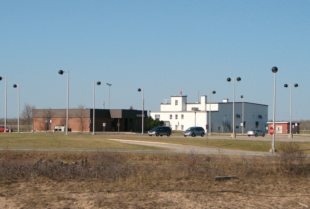
Movements fromStatistics Canada . [http://www.tc.gc.ca/pol/en/Report/tp577/vol2/51-210-XIE2008001.pdf Aircraft Movement Statistics: Airports Without Air Traffic Control Towers (TP 577)] ]Kapuskasing Airport, Airport codes|YYU|CYYU, is located convert|2|NM|abbr=on|lk=in west of the town of Kapuskasing in northern
Ontario ,Canada . The airport handles scheduled passenger service throughBearskin Airlines , which flies to Timmins and points beyond and serves as anAir Canada connector. It is anAirport of Entry , providing customs services forgeneral aviation flights arriving directly from theUnited States .General Motors uses the airport's runways for cold-weather testing of ground vehicles. It is also used for emergency medical flights.
Airlines and destinations
*
Bearskin Airlines (Sudbury, Timmins)References
External links
Wikimedia Foundation. 2010.