- Hayfield Township, Pennsylvania
Geobox|Township
name = Hayfield Township
official_name =
category = Township
image_size =
image_caption =
flag_size =
symbol =
symbol_size =
etymology =
nickname =
motto =
country = United States
country_
state = Pennsylvania
state_
region_type = County
region = Crawford County
district =
part_type =
part_count =
part =
part1 =
area_imperial = 38.9
area_land_imperial = 38.9
area_water_imperial = 0.1
area_urban_imperial =
area_metro_imperial =
location =
lat_d =
lat_m =
lat_s =
lat_NS =
long_d =
long_m =
long_s =
long_EW =
coordinates_type = region:US_type:city
population_as_of = 2000
population = 3092
population_urban =
population_metro =
population_density_imperial = 79.6
government =
established_type =
established =
established1_type =
established1 =
government_type =
mayor =
leader_type =
leader1_name =
leader1_type =
timezone = EST
utc_offset = -4
timezone_DST = EDT
utc_offset_DST = -5
postal_code =
postal_code_type =
area_code = 814
area_code_type =
free_type =
free =
free1_type =
free1 =
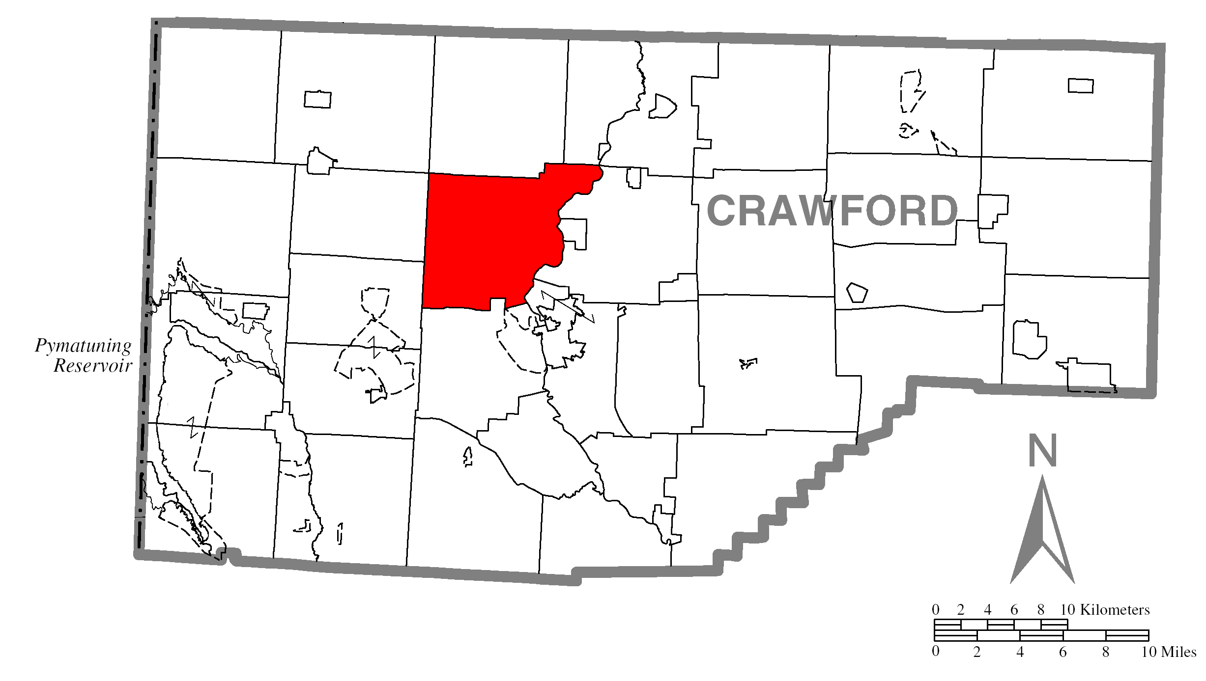
map_caption = Location of Hayfield Township in Crawford County
map1 = Map of Pennsylvania highlighting Crawford County.svg
map1_caption = Location of Crawford County in Pennsylvania
map2 = Map of USA PA.svg
map2_caption = Location of Pennsylvania in the United States
website =
footnotes =Hayfield Township is a township in Crawford County,
Pennsylvania ,United States . The population was 3,092 at the 2000 census.Geography
According to the
United States Census Bureau , the township has a total area of 38.9square mile s (100.8km² ), of which, 38.9 square miles (100.7 km²) of it is land and 0.1 square miles (0.2 km²) of it (0.15%) is water.Demographics
As of the
census GR|2 of 2000, there were 3,092 people, 1,155 households, and 890 families residing in the township. Thepopulation density was 79.6 people per square mile (30.7/km²). There were 1,249 housing units at an average density of 32.1/sq mi (12.4/km²). The racial makeup of the township was 99.06% White, 0.06% African American, 0.19% Native American, 0.23% Asian, 0.06% from other races, and 0.39% from two or more races. Hispanic or Latino of any race were 0.36% of the population.There were 1,155 households out of which 34.6% had children under the age of 18 living with them, 64.5% were married couples living together, 8.2% had a female householder with no husband present, and 22.9% were non-families. 19.3% of all households were made up of individuals and 6.9% had someone living alone who was 65 years of age or older. The average household size was 2.68 and the average family size was 3.04.
In the township the population was spread out with 26.6% under the age of 18, 6.8% from 18 to 24, 29.2% from 25 to 44, 25.5% from 45 to 64, and 11.9% who were 65 years of age or older. The median age was 38 years. For every 100 females there were 103.2 males. For every 100 females age 18 and over, there were 100.1 males.
The median income for a household in the township was $39,702, and the median income for a family was $45,871. Males had a median income of $36,473 versus $21,739 for females. The
per capita income for the township was $16,973. About 5.7% of families and 6.6% of the population were below thepoverty line , including 9.9% of those under age 18 and 5.0% of those age 65 or over.References

Wikimedia Foundation. 2010.