- Rance River
Infobox River | river_name = Rance
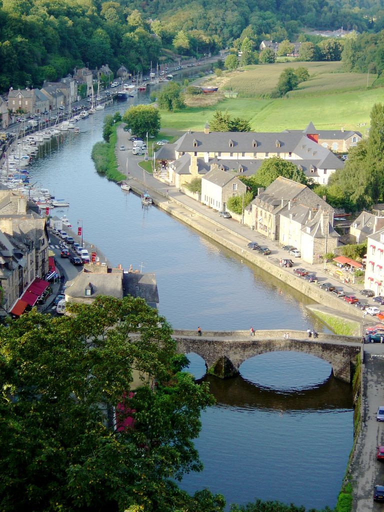
caption = The Rance in Dinan.
origin =Bretagne
mouth =English Channel
coord|48|38|28|N|2|2|26|W|name=English Channel-Rance|display=inline,title
basin_countries =France
length = 102 km
elevation =
discharge = 12 m³/s
watershed = 1,195 km²The Rance is ariver of northwesternFrance . ["Atlas des Routes de France", Solar Press: Donnees IGN (2007)] It flows into theEnglish Channel betweenDinard andSaint-Malo .Before reaching the Channel, its waters are barred by a 750 metre long dam forming the
Rance tidal power plant .The river is linked to the
Vilaine by means of theIlle-Rance Canal ."Départements" and towns along the river:
*Côtes-d'Armor :Collinée ,Caulnes ,Dinan
*Ille-et-Vilaine :Dinard ,Saint-Malo Hydrology and water quality
Tributaries of the Rance include:
*Croqueloir
* Clergé
*Fremeur
*Quinéford This river has moderate
turbidity and its brownish water is somewhat low in velocity due to the slight gradient of the watercourse;pH levels have been measured at 8.13 [Hogan, C. Michael, "Water quality of freshwater bodies in France", Lumina Press, Aberdeen, Scotland(2006)] within the city ofDinan andelectrical conductivity of the waters have tested at 33 micro-siemens per centimetre. At this reference location, summer flows are typically in the range of 500 cubic feet per second.References
Wikimedia Foundation. 2010.