- Clay Township, Butler County, Pennsylvania
-
For other Pennsylvania townships of the same name, see Clay Township, Pennsylvania (disambiguation).
Clay Township,
Butler County,
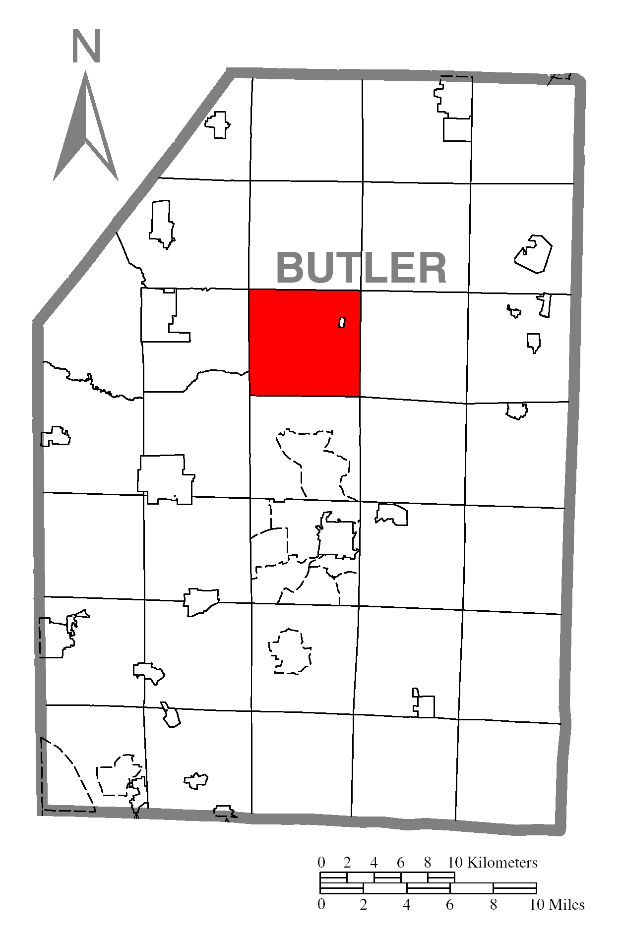
Pennsylvania— Township — Map of Butler County, Pennsylvania highlighting Clay Township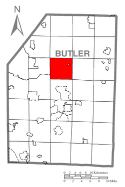 Map of Butler County, Pennsylvania
Country United States State Pennsylvania County Butler Settled 1797 Incorporated 1854 Area – Total 25.2 sq mi (65.2 km2) Population (2000) – Total 2,628 – Density 104.5/sq mi (40.3/km2) Time zone Eastern (EST) (UTC-5) – Summer (DST) EDT (UTC-4) Clay Township is a township in Butler County, Pennsylvania, United States. The population was 2,628 at the 2000 census.
Geography
According to the United States Census Bureau, the township has a total area of 25.2 square miles (65 km2), all of it land.
Demographics
As of the census[1] of 2000, there were 2,628 people, 980 households, and 750 families residing in the township. The population density was 104.5 people per square mile (40.3/km²). There were 1,036 housing units at an average density of 41.2/sq mi (15.9/km²). The racial makeup of the township was 99.09% White, 0.23% African American, 0.11% Asian, 0.15% from other races, and 0.42% from two or more races. Hispanic or Latino of any race were 0.80% of the population.
There were 980 households out of which 37.6% had children under the age of 18 living with them, 62.3% were married couples living together, 9.6% had a female householder with no husband present, and 23.4% were non-families. 19.4% of all households were made up of individuals and 6.7% had someone living alone who was 65 years of age or older. The average household size was 2.67 and the average family size was 3.04.
In the township the population was spread out with 26.4% under the age of 18, 7.3% from 18 to 24, 32.5% from 25 to 44, 25.1% from 45 to 64, and 8.6% who were 65 years of age or older. The median age was 37 years. For every 100 females there were 100.9 males. For every 100 females age 18 and over, there were 97.4 males.
The median income for a household in the township was $33,688, and the median income for a family was $40,833. Males had a median income of $33,259 versus $22,414 for females. The per capita income for the township was $17,195. About 8.4% of families and 14.6% of the population were below the poverty line, including 16.5% of those under age 18 and 12.3% of those age 65 or over.
References
- ^ "American FactFinder". United States Census Bureau. http://factfinder.census.gov. Retrieved 2008-01-31.
Municipalities and communities of Butler County, Pennsylvania City 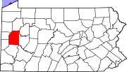
Boroughs Bruin | Callery | Cherry Valley | Chicora | Connoquenessing | East Butler | Eau Claire | Evans City | Fairview | Harmony | Harrisville | Karns City | Mars | Petrolia | Portersville | Prospect | Saxonburg | Seven Fields | Slippery Rock | Valencia | West Liberty | West Sunbury | Zelienople
Townships Adams | Allegheny | Brady | Buffalo | Butler | Center | Cherry | Clay | Clearfield | Clinton | Concord | Connoquenessing | Cranberry | Donegal | Fairview | Forward | Franklin | Jackson | Jefferson | Lancaster | Marion | Mercer | Middlesex | Muddy Creek | Oakland | Parker | Penn | Slippery Rock | Summit | Venango | Washington | Winfield | Worth
CDPs Fernway | Fox Run | Homeacre-Lyndora | Meadowood | Meridian | Nixon | Oak Hills | Shanor-Northvue
Unincorporated
communitiesFootnotes ‡This populated place also has portions in an adjacent county or counties
Coordinates: 40°59′36″N 79°55′22″W / 40.99333°N 79.92278°W
Categories:- Populated places established in 1797
- Pittsburgh metropolitan area
- Townships in Butler County, Pennsylvania

Wikimedia Foundation. 2010.