- Montpothier
-
Montpothier

 MontpothierLocation within Champagne-Ardenne region
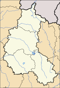 Montpothier
Administration Country France Region Champagne-Ardenne Department Aube Arrondissement Nogent-sur-Seine Canton Villenauxe-la-Grande Intercommunality Nogentais Mayor Jean Vignot
(2008–2014)Statistics Elevation 150 m (490 ft) avg. Land area1 7.72 km2 (2.98 sq mi) Population2 319 (2008) - Density 41 /km2 (110 /sq mi) INSEE/Postal code 10254/ 10400 1 French Land Register data, which excludes lakes, ponds, glaciers > 1 km² (0.386 sq mi or 247 acres) and river estuaries. 2 Population without double counting: residents of multiple communes (e.g., students and military personnel) only counted once. Coordinates: 48°34′24″N 3°31′10″E / 48.5733333333°N 3.51944444444°E
Montpothier is a commune in the Aube department in north-central France.
Population
Historical population of Montpothier 1962 1968 1975 1982 1990 1999 2008 173 199 209 218 225 238 319 See also
References
Categories:- Communes of Aube
- Aube geography stubs


Wikimedia Foundation. 2010.