- Colerne Water Tower
-
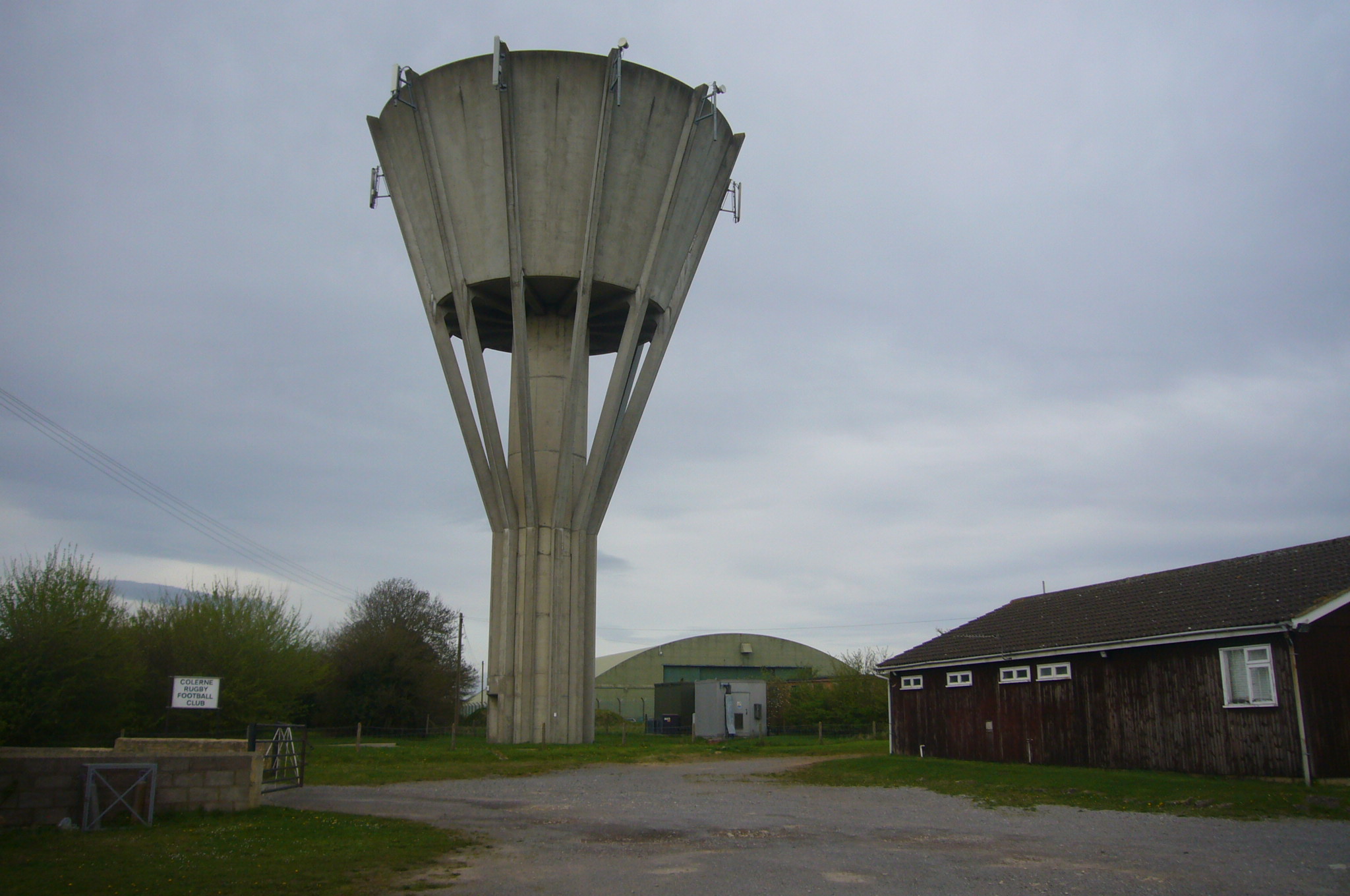
 Present water tower.
Colerne Water Tower is a large concrete structure in the shape of an inverted cone. It is approximately 30 meters (100 ft) high and was built to store water in the village of Colerne, Wiltshire. It replaced an older water tower that was part of a 1930's scheme to bring mains water to Colerne.
Original tower
The original tower was located on the eastern edge of the village near the housing estate Martins Croft (built in the late 1940s-early 50's). The Colerne History Group’s book, The Village on the Hill, Vol. 1, tells the story of this project and page 153 shows the design of the original tower and a photo of the replacement tower. In 2005, housing was built on the site of the original tower and some lock-up garages. That development is called Tower Close.
Present tower
The location of the present tower (Colerne Water Tower), on the southern edge of Colerne Airfield, is clearly shown as "Wr Twr" on the current OS maps (1:25,000 and 1:50,000 maps).
References
- http://www.highbeam.com/doc/1P2-14491660.html
- http://www.wiltshire.gov.uk/community/getprinted.php?id=1176
Coordinates: 51°26′18″N 2°16′24″W / 51.438256°N 2.273285°W
Categories:- Water towers
Wikimedia Foundation. 2010.