- Namuno District
-
Namuno District — District — District location in Mozambique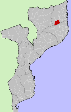
Country  Mozambique
Province Cabo Delgado Province Capital Namuno Area – Total 6,915 km2 (2,669.9 sq mi) Population (2007) – Total 179,992 Time zone EAT (UTC+3) Namuno District is a district of Cabo Delgado Province in northern Mozambique. It covers 6,915 km² with 179,992 inhabitants (2007).
External links
- Government profile (Portuguese)
Capital: MaputoCabo Delgado Gaza Inhambane Funhalouro · Govuro · Homoine · Inharrime · Inhassoro · Jangamo · Mabote · Massinga · Morrumbene · Panda · Vilanculos · ZavalaManica Maputo Nampula Niassa Sofala Tete Zambezia Alto Molocue · Chinde · Gilé · Gurué · Ile · Inhassunge · Lugela · Maganja da Costa · Milange · Mocuba · Mopeia · Morrumbala · Namacurra · Namarroi · Nicoadala · PebaneCategories:- Mozambique geography stubs
- Districts of Mozambique
- Cabo Delgado Province

Wikimedia Foundation. 2010.