- Oxgangs high rise flats
-
Coordinates: 55°54′39″N 3°13′24″W / 55.91083°N 3.22333°W
The Oxgangs tower blocks (known locally at the Oxgangs high rise flats) were a group of 3 tower blocks which were built on Firrhill Drive/Oxgangs Crescent in 1961. They each contained a mixture of flats and maisonettes with 2 bedrooms each, totalling up to 80 homes per block. The blocks were called "Allermuir Court" "Caerketton Court" and "Capelaw Court" and were named after three of the nearby Pentland Hills
At the time of their completion they were seen as 'luxurious', boasting outstanding views across Edinburgh and offered a much better place to live than the slums of the inner city. However, a short while after their completion several problems were drawn into attention such as dampness and after the 1970s the original families were beginning to move out of the blocks in search of other housing.
By the 1980s they had become a very undesirable and rundown place to live, drugs and crime blighted the tower blocks and the people that lived in them. Only the desperate came to live in them and by this time they contained very few families. Structurally, the towers were suffering from neglect and because of this they were steadily but rapidly falling into disrepair. But nonetheless a community spirit existed and in 2000 frustrated tenants of the towers decided to hold a meeting with the council to try and find out the long term future of the flats. The council told them that nothing was possible for at least another 10 years and because of this the tenants held a campaign to have the flats demolished and with the help of a local MSP they won it.
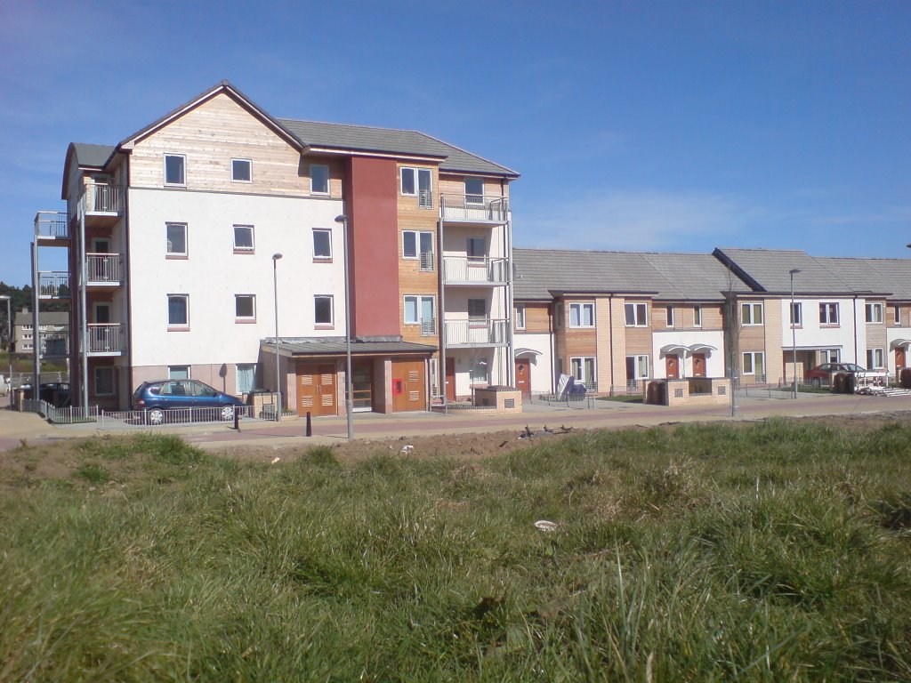
Work began in 2003 with the decanting of Capelaw Court and by 2004 it was empty, finally being demolished (with the use of controlled explosives) on 17 April 2005. Allermuir and Caerketton Court were next and they were both demolished within seconds of each other on 26 November 2006. The site of Capelaw Court now has new affordable housing (owned by Dunedin Canmore Housing Association) on it and the site of the other two tower blocks is currently being developed into more housing. The whole project is due to be completed in around 2009/10
The 45 year lifespan of the flats is documented in detail in the "Village in the Sky" booklet, available free from the Pentland Community Centre on Oxgangs Brae.
-
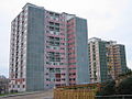
Two of what were originally three tower blocks
-

Phase 1 Construction, June 2006
-

New housing on Firrhill Park (a new street created on what used to be the site of Capelaw Court)
Categories:- Housing estates in Edinburgh
- Buildings and structures in Edinburgh
-


Wikimedia Foundation. 2010.