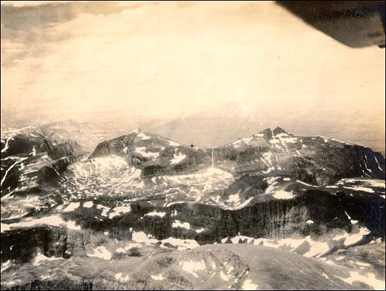
- Kaumajet Mountains
Geobox | Range
name=Kaumajet Mountains
map_size=
map_caption=

image_size=275
image_caption=Bishop's Mitre in the Kaumajet Mountains
country=Canada
region=Labrador
parent=Arctic Cordillera
geology=
period=
orogeny=
highest=Brave Mountain
highest_elevation=1300
highest_lat_d=57|highest_lat_m=52|highest_lat_s=59.9|highest_lat_NS=N
highest_long_d=62|highest_long_m=01|highest_long_s=59.9|highest_long_EW=WThe Kaumajet Mountains are a dramatic compact range rising directly out of the sea on the northern
Labrador coast. The range boasts one 4000-foot peak, the highest island peak on the east coast ofNorth America between theCaribbean andHudson Strait , and several peaks with very high prominence. The highest mountain in the Kaumajet Mountains isBrave Mountain at Unit m|1300|0. The Kaumajet Mountains are part of theArctic Cordillera which is a vast deeply dissectedmountain range .Highest Peaks of the Kaumajet Mountains Rank Name m ft 1 Brave Mountain 1219+ 4000+ 2 Bishop's Mitre 1113 3652 3 The Finger 1006+ 3300+ 4 Peak 3300 (14F/13)1006+ 3300+ 5 Cod Island High Point 914+ 3000+ 6 Cod Island Peak 823+ 2700+ 7 Cod Island Peak 792+ 2600+ 8 Drachart Island High Point 726+ 2500+ ee also
*
List of mountain ranges
*Arctic Cordillera External links
* [http://www.peakbagger.com/range.aspx?rid=15050 Kaumajet Mountains]
Wikimedia Foundation. 2010.
