- West Woodward Airport
Infobox Airport
name = West Woodward Airport
nativename =
nativename-a =
nativename-r =
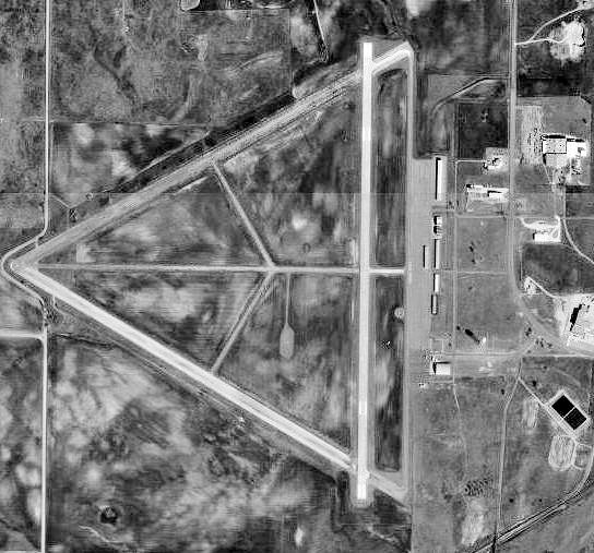
image-width =
image-2 = OKMap-doton-Woodward.png
IATA = WWR
ICAO = KWWR
FAA =
type = General Aviation
owner = City of Woodward
operator = Woodward, Oklahoma
city-served =
location = 2189
elevation-f = 667.2
elevation-m =
coordinates = Coord|36|26|16.8|N|99|31|21.6|W|type:airport_region:US
website =
metric-elev =
metric-rwy =
r1-number = 17/35
r1-length-f = 5,502
r1-length-m = 1,677
r1-surface =Asphalt
r2-number = 5/23
r2-length-f = 2,500
r2-length-m = 762
r2-surface = Asphalt
stat-year =
stat1-header =
stat1-data =
stat2-header =
stat2-data =
footnotes =West Woodward Airport Airport codes|WWR|KWWR is a general aviation airport, located 6 miles west of the City of
Woodward, Oklahoma downtown business district.History
The airfield was built by the
United States Army Air Forces in the fall of 1942 and early 1943 as an aircrew training field. Opened in March 1943 duringWorld War II , the facility was known as Woodward Army Airfield and was assigned to theSecond Air Force .In the fall of 1943, the 409th Bombardment Group trained at the airfield with Douglas A-20 Havocs before being assigned overseas to the
Ninth Air Force inEngland . The 408th Fighter-Bomber Group trained at the airfield with a variety of aircraft (A-24, A-26, P-40, and P-47) in the spring of 1944.The airfield was returned to civil use at the end of the war.
See also
*
Oklahoma World War II Army Airfields
*Central Air Defense Force (Air Defense Command)
*33rd Air Division (United States) References
* Maurer, Maurer (1983). Air Force Combat Units Of World War II. Maxwell AFB, Alabama: Office of Air Force History. ISBN 0892010924.
External links
Wikimedia Foundation. 2010.