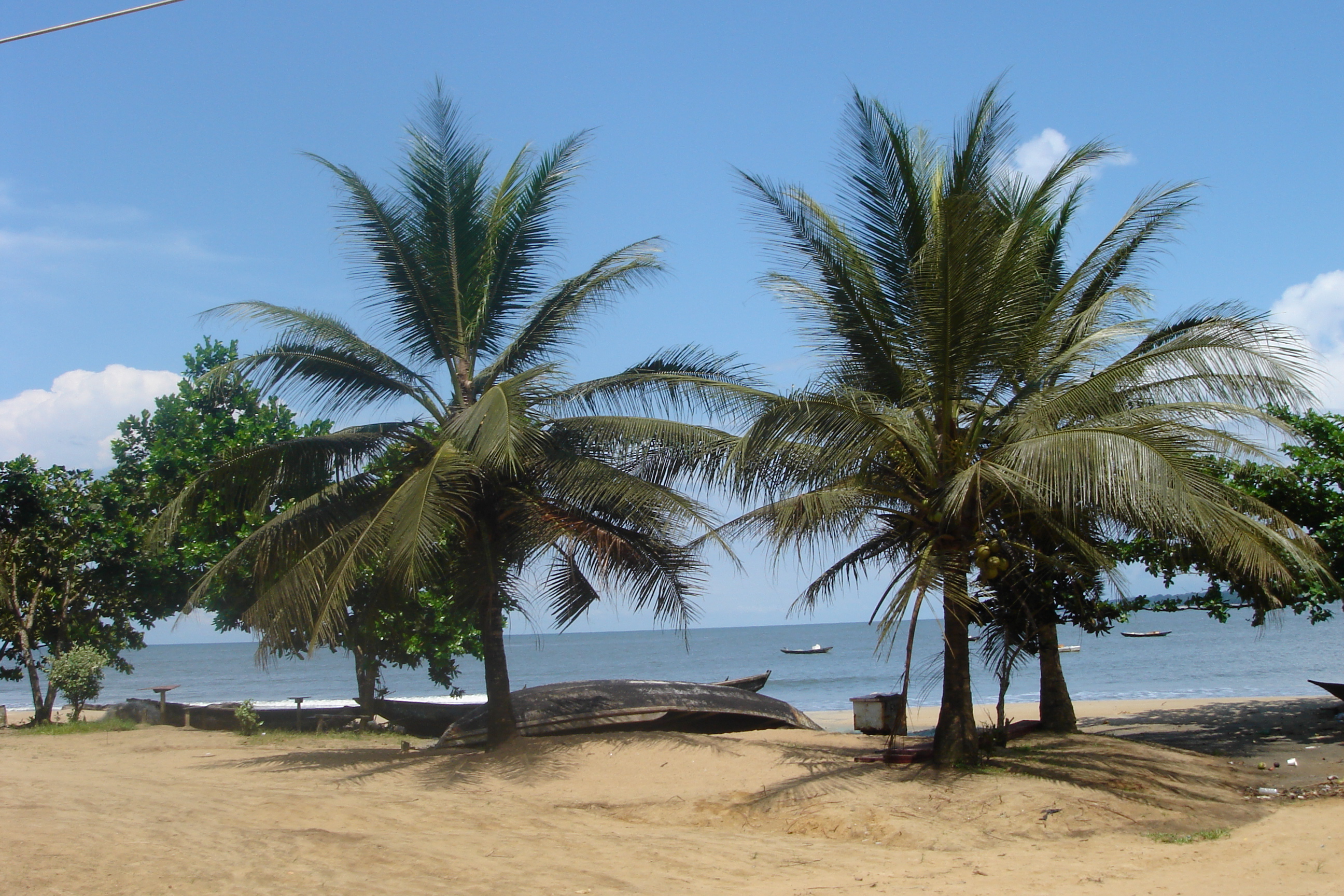
- Kribi
Infobox Settlement
official_name = Kribi
other_name =
native_name =
nickname =
settlement_type =
motto =
imagesize = 300px
image_caption =Kribi beach
flag_size =
image_
seal_size =
image_shield =
shield_size =
image_blank_emblem =
blank_emblem_type =
blank_emblem_size =
mapsize =
map_caption =
mapsize1 =
map_caption1 =
image_dot_
dot_mapsize =
dot_map_caption =
dot_x = |dot_y =
pushpin_
pushpin_label_position =above
pushpin_map_caption =Location in Cameroon
subdivision_type = Country
subdivision_name =
subdivision_type1 = Province
subdivision_name1 = South Province
subdivision_type2 = Division
subdivision_name2 =
subdivision_type3 =
subdivision_name3 =
subdivision_type4 =
subdivision_name4 =
government_footnotes =
government_type =
leader_title =
leader_name =
leader_title1 =
leader_name1 =
leader_title2 =
leader_name2 =
leader_title3 =
leader_name3 =
leader_title4 =
leader_name4 =
established_title =
established_date =
established_title2 =
established_date2 =
established_title3 =
established_date3 =
area_magnitude =
unit_pref =Imperial
area_footnotes =
area_total_km2 =
area_land_km2 =
area_water_km2 =
area_total_sq_mi =
area_land_sq_mi =
area_water_sq_mi =
area_water_percent =
area_urban_km2 =
area_urban_sq_mi =
area_metro_km2 =
area_metro_sq_mi =
area_blank1_title =
area_blank1_km2 =
area_blank1_sq_mi =
population_as_of =2007
population_footnotes =
population_note =
population_total =60,000 (est)
population_density_km2 =
population_density_sq_mi =
population_metro =
population_density_metro_km2 =
population_density_metro_sq_mi =
population_urban =
population_density_urban_km2 =
population_density_urban_sq_mi =
population_blank1_title =Ethnicities
population_blank1 =
population_blank2_title =Religions
population_blank2 =
population_density_blank1_km2 =
population_density_blank1_sq_mi =
timezone =
utc_offset =
timezone_DST =
utc_offset_DST =
latd=2|latm=57|lats= |latNS=N
longd=9|longm=55|longs= |longEW=E
elevation_footnotes =
elevation_m =
elevation_ft =
postal_code_type =
postal_code =
area_code =
blank_name =
blank_info =
blank1_name =
blank1_info =
website =
footnotes =Kribi is a
beach resort and sea port inCameroon , lying on theGulf of Guinea coast, at the mouth of theKienké River . It has an estimated population of 60,000(2007). It services sea traffic in the Gulf of Guinea and also lies near the terminus of theChad-Cameroon pipeline .The
Lobé Waterfalls are nearby and there is a road inland, through the Littoral Evergreen Forest, as far asLolodorf .Port
The vicinity of Kribi is a possible location of a port for the export of
iron ore from about 500km away. Specifically, the port could be atGrand Batanga about halfway betweenKribi and the Guinea border which is 80km away. Since there is no natural harbour at Kribi, the port itself would be several kilometres off shore where deepwater of 20 metres is suitable for largeCapesize ships.Iron mine
The iron ore comes from mines near
Mbalam . The mine would have an output of approximately 35 million tonnes per year, with a 30 year or so lifespan. [ [http://imagesignal.comsec.com.au/asxdata/20070730/pdf/00743560.pdf SDL ] ]Maps
* [http://www.fallingrain.com/world/CM/14/Kribi.html FallingRain Map (railways are red dots) - elevation = 13m]
Twin cities
*
See also
*
Transport in Cameroon References
Wikimedia Foundation. 2010.

