- Adobe Creek
Geobox|River
name = Adobe Creek
native_name =
other_name = Casa Grande Creekcite web|url=http://www.krisweb.com/biblio/nsfb_cdfg_thomson_1968_adobe.pdf|title=1968 Stream Survey|accessdate=2008-03-16]
category =stream
etymology =
nickname =
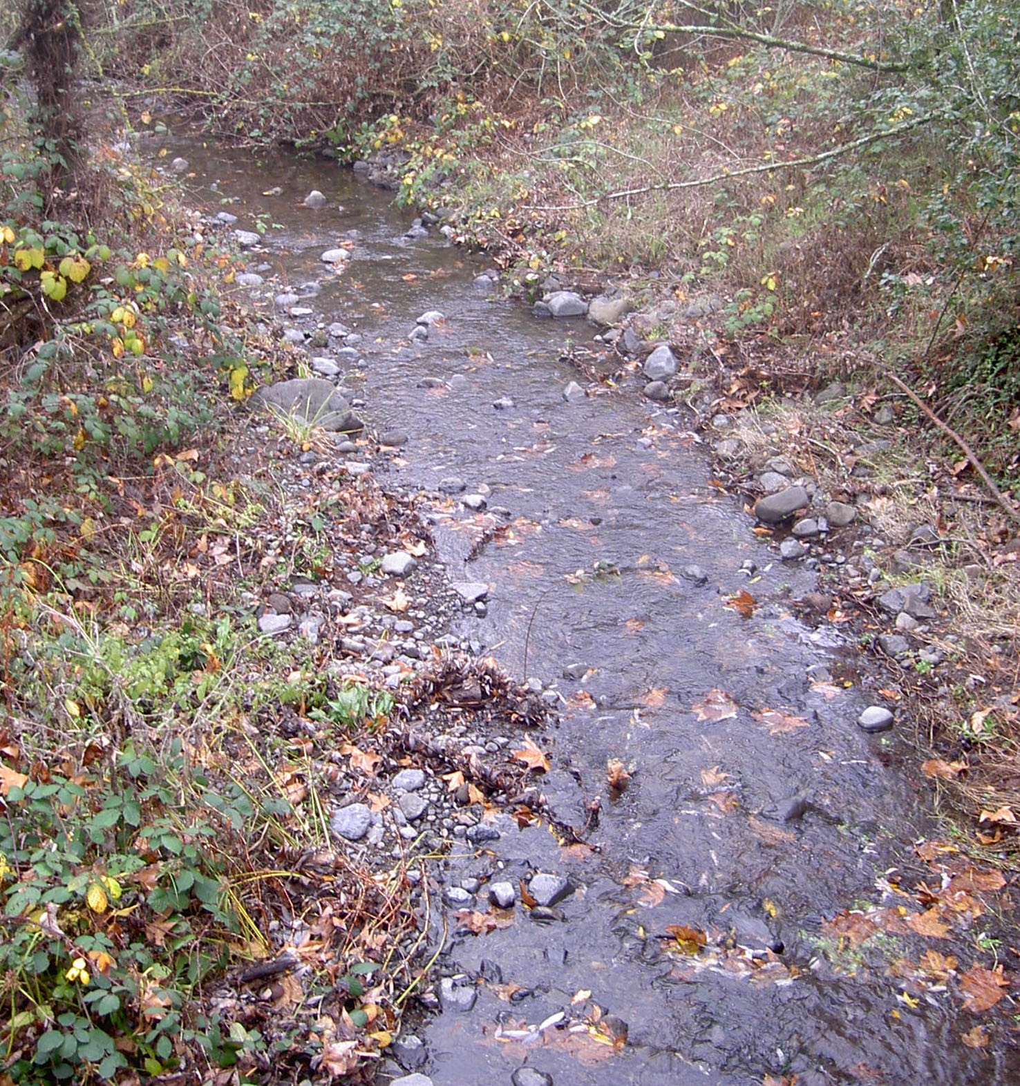
image_caption = Adobe Creek at thePetaluma Adobe State Historic Park .
country =United States
state =California
region = Sonoma County
district =
municipality =
parent =
tributary_right =
tributary_left =
city =Petaluma, California
landmark =Rancho Petaluma Adobe
river =
source =Sonoma Mountain
source_location = convert|7|mi|km|0|lk=on|abbr=on northeast ofPetaluma, California
source_region = | source_country =
source_elevation_imperial = 2040
source_elevation_note =
source_lat_d = 38 | source_lat_m = 19 | source_lat_s = 5 | source_lat_NS = N
source_long_d = 122 | source_long_m = 34 | source_long_s = 31 | source_long_EW = W
source_coordinates_note = Gnis|217990|Adobe Creek]
source1 =
source1_location = | source1_region = | source1_country =
source1_elevation_imperial =
source1_lat_d = | source1_lat_m = | source1_lat_s = | source1_lat_NS =
source1_long_d = | source1_long_m = | source1_long_s = | source1_long_EW =
source_confluence =
source_confluence_location = | source_confluence_region = | source_confluence_country =
source_confluence_elevation_imperial =
source_confluence_lat_d = | source_confluence_lat_m = | source_confluence_lat_s = | source_confluence_lat_NS =
source_confluence_long_d = | source_confluence_long_m = | source_confluence_long_s = | source_confluence_long_EW =
mouth =Petaluma River
mouth_location = east ofPetaluma, California
mouth_region = | mouth_country =
mouth_elevation_imperial = 3
mouth_elevation_note =
mouth_lat_d = 38 | mouth_lat_m = 13 | mouth_lat_s = 26 | mouth_lat_NS = N
mouth_long_d = 122 | mouth_long_m = 36 | mouth_long_s = 19 | mouth_long_EW = W
mouth_coordinates_note =
length_imperial =
length_note =
length_orientation =
width_imperial = | width_orientation =
depth_imperial =
volume_imperial =
watershed_imperial = 10
watershed_note =
discharge_location =
discharge_location_note =
discharge_imperial =
discharge_round =
discharge_max_imperial =
discharge_min_imperial =
free = | free_type =
map_caption =
map_background =
map_locator =
map_locator_x =
map_locator_y =
website =
footnotes =Adobe Creek is a southward-flowing
stream inSonoma County, California ,United States which flows past the historicRancho Petaluma Adobe and discharges into thePetaluma River . It has also been called Casa Grande Creek.Course
Adobe Creek rises on the west flank of
Sonoma Mountain . It descends initially to the south, passing west ofPetaluma Reservoir and flowing under Manor Lane. Just east ofPetaluma Adobe State Historic Park , it bends toward the southwest and crosses Adobe Road. From there, the creek follows Casa Grande Road, crossing under the road twice as it winds in and out of Adobe Creek Golf Club, crosses Ely Boulevard, and runs along the eastern edge of Del Oro Park. It flows under Lakeville Highway (State Route 116) at milepost 36.19, crosses South McDowell Boulevard, and enters the Petaluma River about convert|1|mi|km|1|lk=on southeast of theU.S. 101 bridge.Watershed
Adobe Creek drains an area of about convert|10|sqmi|km2|0|lk=on. Its headwaters lie in Lafferty Ranch, a convert|270|acre|ha|0|adj=on|lk=on parcel of land owned by the City of Petaluma since 1995. Lafferty Ranch has been proposed for a wilderness park, but is not accessible to the public. [cite web|url=http://www.sonomamountain.org/news0302/protectd.htm|title=Publicly Owned and Protected Lands on Sonoma Mountain|accessdate=2008-02-15]
Petaluma Reservoir (which formerly provided water for the city of Petaluma) is located in the Adobe Creek watershed.Habitat and pollution
In the 1960s, the creek supported
steelhead trout , caddis flies, stone flies, helgramites,frog s, andalgae .In 1996, the creek was the subject of a habitat restoration project which built a step pool near Adobe Road for the benefit of migratory fish.cite web|url=http://www.photolib.noaa.gov/htmls/r0002019.htm|title=NOAA Photo Library|accessdate=2008-02-15]
As of 2000, Adobe Creek still supported steelhead trout. [cite web|url=http://www.krisweb.com/biblio/marinsonoma_cdfg_cox_2000_streamsofsonoma.pdf|year=2000|first=Bill|last=Cox|title=Major Streams in Sonoma County|accessdate=2008-02-15]
Bridges
Wikimedia Foundation. 2010.