- Mitterlabill
-
Mitterlabill 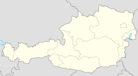
 Mitterlabill
Country Austria State Styria District Feldbach Mayor Adolf Totter (ÖVP) Area 7.88 km2 (3 sq mi) Elevation 309 m (1014 ft) Population 422 (1 January 2011)[1] - Density 54 /km² (139 /sq mi) Time zone CET/CEST (UTC+1/+2) Licence plate FB Postal code 8413 Area codes +43 3184 Website www.mitterlabill.
steiermark.atCoordinates: 46°53′00″N 15°38′00″E / 46.8833333°N 15.6333333°E
Mitterlabill is a municipality in the district of Feldbach in Styria, Austria.
References
Categories:- Cities and towns in Styria
- Styria geography stubs

Wikimedia Foundation. 2010.