- Charles Hill, Botswana
-
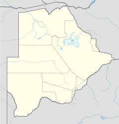
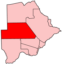
 Location of Charles Hill
Charles Hill is a village in Ghanzi District of Botswana. It is located close to be Namibian border. Charles Hill is the second-largest settlement in Ghanzi District, with a population of 1,859 in 2001 census.[1] Charleshill is the seat of Charleshill sub-District, established separately from Ghanzi District administratively in 2004. Although the limits of the sub-District have as yet to be clearly defined it generally is bordered to the north by the Trans-Kalahari Highway, the west by Namibia, to the east by Botswana Highway A2 and to the south by Kgalagadi District. There are eight villages and two settlements lying within the sub-District, Chobokwane, Tsootsha (also known as Kalkfontein), Karakubis, Xanagas, New Xanagas, Charleshill, Makunda, Koke (also called Kuke), Ncojane and Metsimontsu. An estimated over 200 cattle posts lie within the sub-District but outside village limits.
References
- ^ "Distribution of population by sex by villages and their associated localities: 2001 population and housing census". Archived from the original on 2007-11-24. http://web.archive.org/web/20071124145523/http://www.cso.gov.bw/html/census/dist80_81.html. Retrieved 2007-12-11.
Urban villages 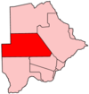
Rural villages Bere · Charles Hill · Chobokwane · Dekar · East Hanahai · Groote Laagte · Kacgae · Karakobis · Kule · Makunda · New Xade · New Xanagas · Nojane · Qabo · Tsootsha · West HanahaiCoordinates: 22°16′35″S 20°05′34″E / 22.27639°S 20.09278°E
Categories:- Botswana geography stubs
- Ghanzi District
- Villages in Botswana

Wikimedia Foundation. 2010.