Piethorne Brook

Piethorne Brook

Geobox|River
name = Piethorne Brook
native_name =
other_name =
other_name1 =


image_size =
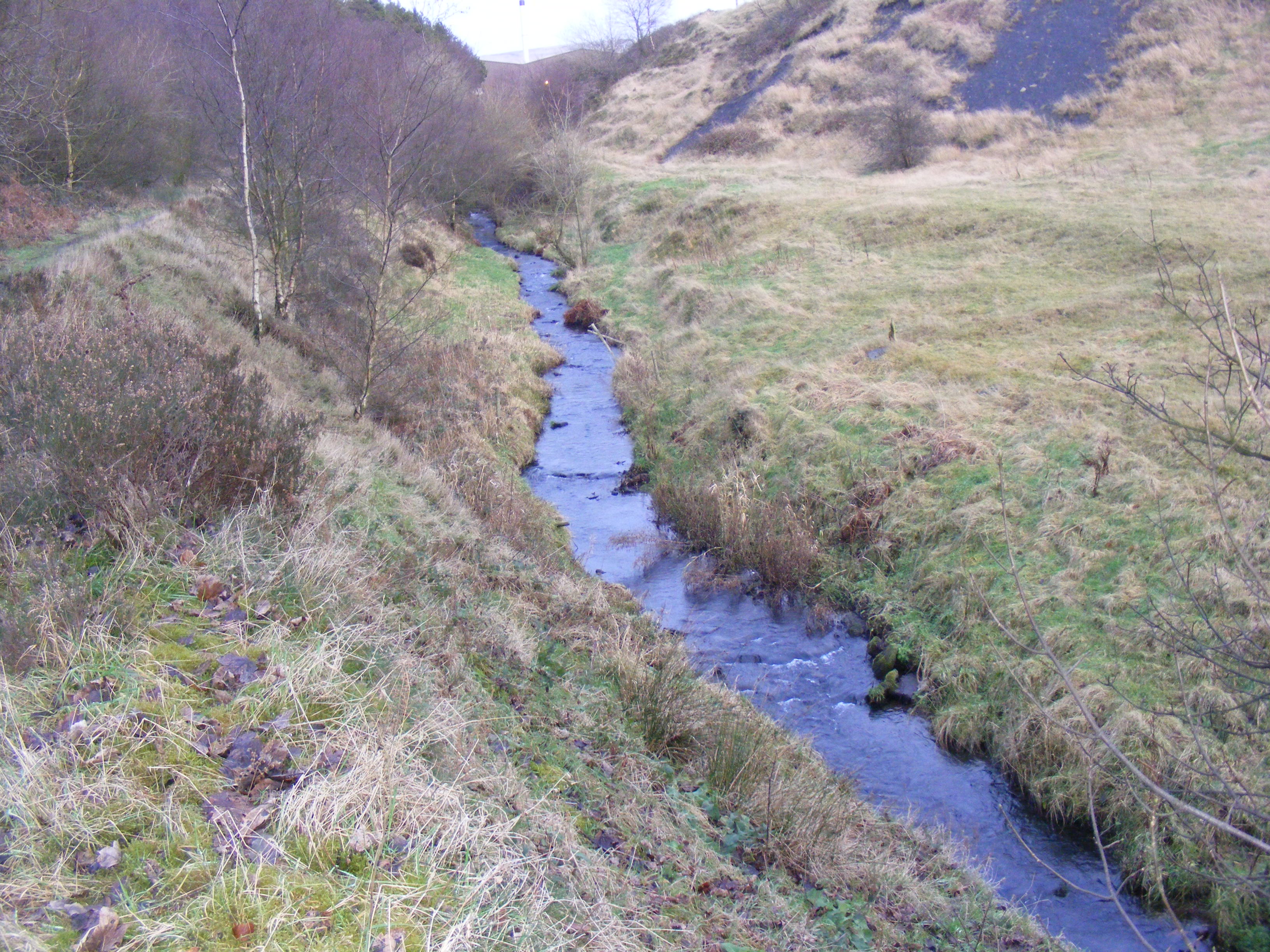
image_caption = Looking upstream to Ogden from Newhey
etymology =
country = England
Country_

country1 =
state =
state1 =
region =
region1 =
district =
district1 =
city =
city1 =
landmark =
landmark1 =
length =
watershed =
discharge_location =
discharge =
discharge_max =
discharge_min =
discharge1_location =
discharge1 =
source_name =
source_location = Windy Hill
source_district =
source_region =
source_state =
source_country =
source_lat_d =
source_lat_m =
source_lat_s =
source_lat_NS =
source_long_d =
source_long_m =
source_long_s =
source_long_EW =
source_elevation =
source_length =
mouth_name =
mouth_location = River Beal, Newhey
mouth_district =
mouth_region =
mouth_state =
mouth_country =
mouth_lat_d =
mouth_lat_m =
mouth_lat_s =
mouth_lat_NS =
mouth_long_d =
mouth_long_m =
mouth_long_s =
mouth_long_EW =
mouth_elevation =
tributary_left =
tributary_left1 =
tributary_right =
tributary_right1 =
free_name =
free_value =


map_size =
map_caption =
Piethorne Brook is a tributary of the River Beal.

Course

Originating at Windy Hill, it flows in a south-westerly direction through Piethorne Valley towards Newhey and its confluence with the River Beal.

History

In the 19th Century, it was used in the creation of several reservoirs in the area including Norman Hill, Piethorne, Kitcliffe, Ogden, Rooden and Hanging Lees.

Tributaries

*Haugh Brook
*Wickenhall Brook (Into Ogden Reservoir)
*Rag Hole Brook (Into Ogden Reservoir)
*Cold Greave Brook
**Little Whinning Gulf
**Great Whinning Gulf
*Ashworth Brook
*Griffiths Brook

Gallery


Wikimedia Foundation. 2010.

Игры ⚽ Нужна курсовая?

Look at other dictionaries:

  • Piethorne Reservoir — Infobox lake lake name = Piethorne Reservoir image lake = Piethorne Reservoir.jpg caption lake = image bathymetry = caption bathymetry = location = Greater Manchester coords = coord|53|36|35|N|2|3|18|W|type:waterbody… …   Wikipedia

  • Ogden Reservoir (Greater Manchester) — Ogden Reservoir Ice cover in early 2006 Location Greater Manchester Coordinates …   Wikipedia

  • Norman Hill Reservoir — Location Greater Manchester Coordinates …   Wikipedia

  • Kitcliffe Reservoir — Infobox lake lake name = Kitcliffe Reservoir image lake = Kitcliffe Reservoir.jpg caption lake = image bathymetry = caption bathymetry = location = Greater Manchester coords = coord|53|36|33|N|2|3|42|W|type:waterbody… …   Wikipedia

  • Liste des cours d'eau d'Angleterre — Cet article présente une liste des cours d eau d Angleterre, classés par position géographique dans le sens inverse des aiguilles d une montre. Ils passent par l Angleterre et se jettent dans les mers qui bordent le pays. Pour l Esk, la Tweed, la …   Wikipédia en Français

  • River Beal — Infobox River river name = River Beal |Upstream from Firgrove|200px caption = River Beal at Firgrove. origin = Beal Valley mouth = River Roch, Belfield basin countries = England length = elevation = mouth elevation = discharge = watershed =The… …   Wikipedia

  • Milnrow — Coordinates: 53°36′36″N 2°06′40″W / 53.6101°N 2.1111°W / 53.6101; 2.1111 …   Wikipedia

  • List of reservoirs and dams in the United Kingdom — This is a list of reservoirs and dams in the United Kingdom.EnglandBedfordshireBuckinghamshire*Foxcote Reservoir, north of Buckingham *Weston Turville Reservoir, between Weston Turville and WendoverCambridgeshire*Grafham WaterCheshire*Bosley… …   Wikipedia

  • Newhey — Coordinates: 53°36′00″N 2°05′54″W / 53.6001°N 2.0982°W / 53.6001; 2.0982 …   Wikipedia

  • List of lakes in England — This is a list of lakes and reservoirs in England. Largest lakes and reservoirs LakeArea (sq mi)1Windermere5.692Kielder Reservoir3.863Ullswater3.444Bassenthwaite Lake2.065Derwent Water2.06 Lakes larger than 5 hectares This list is restricted to… …   Wikipedia

Share the article and excerpts

Direct link
Do a right-click on the link above
and select “Copy Link”