Zabierzów, Lesser Poland Voivodeship
- Zabierzów, Lesser Poland Voivodeship
Infobox Settlement
official_name = Zabierzów
other_name =
native_name =
nickname =
settlement_type = Village
motto =
imagesize = 250px
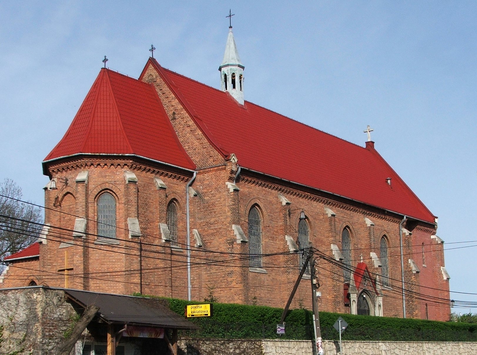
image_caption = Church in Zabierzów
flag_size =
image_
seal_size =
image_shield =
shield_size =
city_
citylogo_size =
mapsize =
map_caption =
mapsize1 =
map_caption1 =
image_dot_
dot_mapsize =
dot_map_caption =
dot_x = |dot_y =
pushpin_

pushpin_label_position = bottom
pushpin_map_caption =
pushpin_mapsize =
subdivision_type = Country
subdivision_name = Poland
subdivision_type1 = Voivodeship
subdivision_name1 = Lesser Poland
subdivision_type2 = Powiat
subdivision_name2 = Kraków County
subdivision_type3 = Gmina
subdivision_name3 = Zabierzów
subdivision_type4 =
subdivision_name4 =
government_footnotes =
government_type =
leader_title = Mayor
leader_name = Józef Woch
leader_title1 =
leader_name1 =
leader_title2 =
leader_name2 =
leader_title3 =
leader_name3 =
leader_title4 =
leader_name4 =
established_title = Established
established_date = 14th century
established_title2 =
established_date2 =
established_title3 =
established_date3 =
area_magnitude =
unit_pref =
area_footnotes =
area_total_km2 =
area_land_km2 =
area_water_km2 =
area_total_sq_mi =
area_land_sq_mi =
area_water_sq_mi =
area_water_percent =
area_urban_km2 =
area_urban_sq_mi =
area_metro_km2 =
area_metro_sq_mi =
population_as_of = 2004
population_footnotes =
population_note =
population_total = 4400
population_density_km2 =
population_density_sq_mi =
population_metro =
population_density_metro_km2 =
population_density_metro_sq_mi =
population_urban =
population_density_urban_km2 =
population_density_urban_sq_mi =
population_blank1_title =
population_blank1 =
population_density_blank1_km2 =
population_density_blank1_sq_mi =
timezone = CET
utc_offset = +1
timezone_DST = CEST
utc_offset_DST = +2
latd=50 |latm=07 |lats=05 |latNS= N
longd=19 |longm=46 |longs=47 |longEW= E
elevation_footnotes =
elevation_m =
elevation_ft =
postal_code_type = Postal code
postal_code = 32-080
area_code = +48 12
blank_name = Car Plates
blank_info = KRA
blank1_name =
blank1_info =
website = [http://www.zabierzow.org.pl zabierzow.org.pl]
footnotes = Zabierzów is a village in southern Poland in the Kraków metropolitan area, and situated (since 1999) in Lesser Poland Voivodship, previously (1975-1998) in Kraków Voivodship. Religions: Roman Catholicism (The Church) and Jehovah's Witnesses.
External links
* [http://www.zabierzow.org.pl/ Zabierzów official page]
Wikimedia Foundation.
2010.
Look at other dictionaries:
Balice, Lesser Poland Voivodeship — Infobox Settlement name = Balice settlement type = Village total type = image shield = subdivision type = Country subdivision name = POL subdivision type1 = Voivodeship subdivision name1 = Lesser Poland subdivision type2 = County subdivision… … Wikipedia
Kobylany, Lesser Poland Voivodeship — Infobox Settlement name = Kobylany settlement type = Village total type = image shield = subdivision type = Country subdivision name = POL subdivision type1 = Voivodeship subdivision name1 = Lesser Poland subdivision type2 = County subdivision… … Wikipedia
Kochanów, Lesser Poland Voivodeship — Infobox Settlement name = Kochanów settlement type = Village total type = image shield = subdivision type = Country subdivision name = POL subdivision type1 = Voivodeship subdivision name1 = Lesser Poland subdivision type2 = County subdivision… … Wikipedia
Pisary, Lesser Poland Voivodeship — Infobox Settlement name = Pisary settlement type = Village total type = image shield = subdivision type = Country subdivision name = POL subdivision type1 = Voivodeship subdivision name1 = Lesser Poland subdivision type2 = County subdivision… … Wikipedia
Aleksandrowice, Lesser Poland Voivodeship — Infobox Settlement name = Aleksandrowice settlement type = Village total type = image shield = subdivision type = Country subdivision name = POL subdivision type1 = Voivodeship subdivision name1 = Lesser Poland subdivision type2 = County… … Wikipedia
Bolechowice, Lesser Poland Voivodeship — Infobox Settlement name = Bolechowice settlement type = Village total type = image shield = subdivision type = Country subdivision name = POL subdivision type1 = Voivodeship subdivision name1 = Lesser Poland subdivision type2 = County subdivision … Wikipedia
Brzoskwinia, Lesser Poland Voivodeship — Infobox Settlement name = Brzoskwinia settlement type = Village total type = image shield = subdivision type = Country subdivision name = POL subdivision type1 = Voivodeship subdivision name1 = Lesser Poland subdivision type2 = County subdivision … Wikipedia
Kleszczów, Lesser Poland Voivodeship — Infobox Settlement name = Kleszczów settlement type = Village total type = image shield = subdivision type = Country subdivision name = POL subdivision type1 = Voivodeship subdivision name1 = Lesser Poland subdivision type2 = County subdivision… … Wikipedia
Szczyglice, Lesser Poland Voivodeship — Infobox Settlement name = Szczyglice settlement type = Village total type = image shield = subdivision type = Country subdivision name = POL subdivision type1 = Voivodeship subdivision name1 = Lesser Poland subdivision type2 = County subdivision… … Wikipedia
Gmina Czernichów, Lesser Poland Voivodeship — Gmina Czernichów Czernichów Commune Gmina … Wikipedia