- Rapides-des-Joachims, Quebec
Infobox Settlement
official_name = Rapides-des-Joachims
nickname = Swisha, The Swisha
motto =
imagesize = 230px
image_caption =
flag_size = 120x100px
image_shield =
shield_size = 120x100px
mapsize =
subdivision_type = Country
subdivision_name =Canada
subdivision_type1 = Province
subdivision_name1 =Quebec
subdivision_type2 = Region
subdivision_name2 = Outaouais
established_title =
established_date =
established_title2 = Incorporation
established_date2 = January 1, 1955
government_type = Municipality
leader_title = Mayor
leader_name = Dale Lévesque
area_total_km2 = 248.92
area_land_km2 = 242.86
area_water_km2 =
area_footnotes = [Total area: Affaires municipales et régions Québec
Land area:Statistics Canada ]
population_as_of= 2006
population_footnotes = [Statistics Canada 2006 census (Note that AMRQ shows a 2006 population of 210)]
population_total = 172
population_density_km2 = 0.71
timezone = EST
utc_offset = −5
timezone_DST = EDT
utc_offset_DST = −4
postal_code_type = Postal Code
postal_code = J0X 3M0
latd = 46 | latm = 12 | lats = 0 | latNS = N
longd = 77 | longm = 41 | longs = 0 | longEW = W
elevation_footnotes=
elevation_m =
website = [http://www.rapidesdesjoachims.ca www.rapidesdesjoachims.ca]
footnotes =Rapides-des-Joachims is a municipality and village in western Quebec, Canada, part of Pontiac County in the
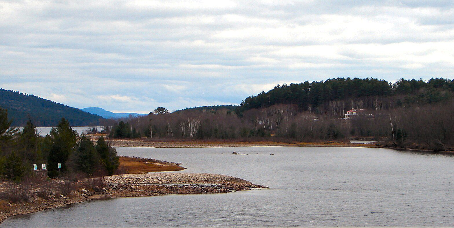
Outaouais region . The village is situated on Rapides-des-Joachims Island ("l'île de Rapides-des-Joachims") on theOttawa River , about 100 km northwest of Fort-Coulonge. It is also known as Swisha.The municipality covers a vast sparsely populated area characterized by boreal forest, lakes, and streams. Prior to the construction of a hydro-electric dam in 1950, the village's site was not an island. The rising water flooded the old river bed from the north through Lake McConnell. [Kennedy, Clyde C. "The Upper Ottawa Valley, Renfrew County Council", Pembroke, 1970.] The dam can be bypassed on one of the Ottawa Navigable Waterway bypasses, connecting the Pembroke stretch of the Ottawa River to the upstream section to Mattawa.cite web |url=http://www.mrcpontiac.qc.ca/en/dossiers/dossiers.php?id_dossier=43 |title=Pontiac MRC Gateway - Rapides-des-Joachims |accessdate=2007-11-16]
Rapides-des-Joachims is isolated from the rest of Quebec's road network because the only paved road link to the village is through
Rolphton, Ontario . It is the only community on the Quebec side of the Ottawa River between Sheenboro and Témiscaming. [Transports Quebec, "carte routière officielle du Québec"]History
The site had long been inhabited by the indigenous people before Europeans arrived. The explorers and voyageurs of the seventeenth and eighteenth centuries would travel on the Ottawa River to the west and at the foot of the rapids, they would have established a resting place and may have given it the name of an explorer.cite web |url=http://www.toponymie.gouv.qc.ca/ct/topos/carto.asp?Speci=52352&Latitude=46,2&Longitude=-77,68333&Zoom=1700 |title=Commission de topomymie du Québec |accessdate=2007-11-15 |language=French]
It was a busy place during the seventeenth century, when a mission post was set up along the river where a
Hudson's Bay Company trading post had been established at the foot of the "Long Rapids", as they were called at the time.But the place was called "Rapides des Joachims de l'Estang" in a memorandum of 1686 by Jacques-René de Brisay, Governor of New France, to Marquis de Seignelay, and named "Portage de Joachim de l'Estan" on a map of Franquelin of 1688. Another document from 1699 shows "Joachim de l'Estang".
However, both in Quebec and in Ontario, the name Swisha, Sweshaw, or Shesha Rapids has also long been used for this location as a map of 1790 indicates. Swisha is an obvious distortion of the French pronunciation of "Joachim".
In 1863,
Stanislas Drapeau described "Rapides des Joachims" and "Rapides des Deux Joachims" as "the most important place for navigation on the Ottawa River and flourished thanks to the logging industry."By 1871 it had become a small village complete with a
telegraph office of theMontreal Telegraph Company . The river steamers had to stop here because it was the head of navigation on the Ottawa River. In 1886 the Oblate Fathers built a frame church in the village, which was used until 1922, when a new church was built.In 1951, the construction of a dam and hydro-electric station began and the rapids which gave the town its name disappeared.
The municipality was incorporated in 1955 when it was formed out of the Sheen-Esher-Aberdeen-Malakoff United Townships. It adopted its present name of Rapides-des-Joachims, which had already been assigned to the post office created about 100 years earlier in 1853. Its first mayor was J.H. Mador. Subsequently in 1960, the territory of the former Aberdeen Township was added to the municipality.
Economy
Since Rapides-des-Joachims provides access to vast tracks of wilderness, including ZEC Dumoine, it depends largely on the hunting and fishing business. It is the long-time base of a charter float plane company (Air Swisha, formerly Bradley Air Service/First Air), operating a
de Havilland Canada DHC-2 Beaver .The economy depends also on logging and the Commonwealth Plywood Mill.
Demographics
Demographics: [ Statistics Canada: 1996, 2001, 2006 census]
* Population in 2006: 172
* Population in 2001: 197
** 2001 to 2006 population change: −12.7 %
* Population in 1996: 185
* Population in 1991: 183Total private dwellings: 93
Languages:
* English as first language: 69 %
* French as first language: 31 %References
External links
* [http://www.mrcpontiac.qc.ca/en/welcome/index.php Pontiac MRC Gateway]
* [http://www.virtualmuseum.ca/CommunityMemories/ADYF/000a/Exhibits/English/index.html Virtual Museum - Swisha Project]Geographic Location (8-way)
Centre = Rapides-des-Joachims
North =

Wikimedia Foundation. 2010.