- 's-Gravenzande
-
's-Gravenzande — Town — 
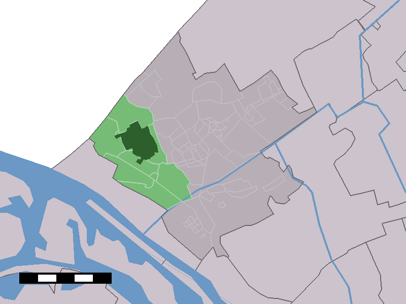
Coat of arms The town centre (dark green) and the statistical district (light green) of 's-Gravenzande in the municipality of Westland.
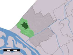
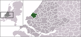
Coordinates: 52°0′N 4°10′E / 52°N 4.167°ECoordinates: 52°0′N 4°10′E / 52°N 4.167°E Country Netherlands Province Zuid-Holland Municipality Westland Population (2006-01-01) 19,190 Postal code 2690 - 2694 Area code(s) 0174 's-Gravenzande is a town in the Dutch province of South Holland. It is a part of the municipality of Westland, and lies about 12 km southwest of The Hague. Until 2004 it was a separate municipality and covered an area of 20.77 km² (of which 3.38 km² water).
In 2001, the town of 's-Gravenzande had 15241 inhabitants. The built-up area of the town was 2.7 km², and contained 5879 residences.[1] The statistical area "'s-Gravenzande", which also can include the peripheral parts of the village, as well as the surrounding countryside, has a population of around 19750.[2] As of January 1. 2009 's-Gravenzande is the largest town in Westland with 19.428 inhabitants.[3]
The former municipality of 's-Gravenzande also included the township of Heenweg.
Contents
History
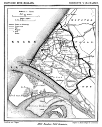 's-Gravenzande in 1868.
's-Gravenzande was granted city rights in 1246 by Count William II of Holland who, just like his father Count Floris IV, regularly resided at his estate near the town. It is therefore the only "city" in Westland.
Machteld van Brabant, daughter of Duke Henry I and wife of Floris IV, was responsible for building the town's church, and gave it a madonna statue to which miracluous powers were attributed. 's-Gravenzande subsequently became a pilgrimage site.
Notable people born in 's-Gravenzande
- Stefan Aartsen (b. 1975), butterfly swimmer
- Thiemo de Bakker (b. 1988), tennis player
References
- ^ Statistics Netherlands (CBS), Bevolkingskernen in Nederland 2001. (Statistics are for the continuous built-up area).
- ^ Statistics Netherlands (CBS), Statline: Kerncijfers wijken en buurten 2003-2005. As of 1 January 2005. Archived 24 July 2006 at WebCite
- ^ "Gemeente Westland - Feiten en cijfers". Archived from the original on 2009-09-11. http://www.gemeentewestland.nl/Smartsite.shtml?id=5902. Retrieved 2009-09-09.
Links
Categories:- South Holland geography stubs
- Populated places in South Holland
- Former municipalities of South Holland
- 1246 establishments


Wikimedia Foundation. 2010.