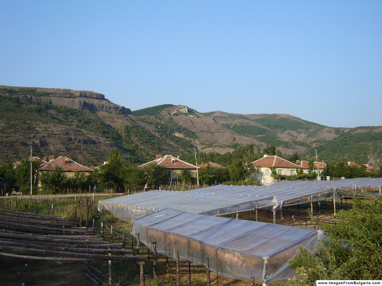
Gorna Kula

Gorna Kula
Gorna kula view

Gorna kula (Bulgarian: Горна кула) is a village in Kardzhali Province in the very south of Bulgaria, located in the Eastern Rhodopes on the banks of the river Krumovitsa. The majority of its population consists of ethnic Turks.

External links

Coordinates: 41°28′N 25°40′E / 41.467°N 25.667°E / 41.467; 25.667


Wikimedia Foundation. 2010.

Игры ⚽ Поможем решить контрольную работу

Look at other dictionaries:

  • Gorna Oryahovitsa — Горна Оряховица   Town   Gorna Oryahovitsa town centre …   Wikipedia

  • Krumovitsa — The valley of the Krumovitsa river and the Diushun river in the eastern Rhodopi mountains, together with the surrounding low mountain slopes. The rivers flow through deep canyons and open valleys, with the vegetation along the riverbanks… …   Wikipedia

  • Chiprovtsi — Coordinates: 43°23′N 22°53′E / 43.383°N 22.883°E / 43.383; 22.883 …   Wikipedia

  • Municipalities of Bulgaria — Bulgaria This article is part of the series: Politics and government of Bulgaria …   Wikipedia

  • List of cities and towns in Bulgaria — This is a complete list of all cities and towns in Bulgaria sorted by population. Province capitals are shown in bold. As base sources are used The National Statistical Institute (NSI)[1][2] and The Bulgarian Academy of Sciences.[3] Rank CoA City …   Wikipedia

  • Kaleto — Kale ([kalˈe], mit der Betonung auf dem »e«) ist häufiger Ortsname und Ortsnamensbestandteil in Asien und auf der Balkanhalbinsel, und findet sich auch für entsprechende Burgberge, vereinzelt auch für andere geographische Objekte.… …   Deutsch Wikipedia

  • Blagoevgrad — Благоевград …   Wikipedia

  • Botevgrad — Coat of arms …   Wikipedia

  • Kyustendil — Coordinates: 42°17′N 22°41′E / 42.283°N 22.683°E / 42.283; 22.683 …   Wikipedia

  • Mezdra — Мездра Railwaymen s House and Hristo Botev School …   Wikipedia

Share the article and excerpts

Direct link
Do a right-click on the link above
and select “Copy Link”