- Puerto Maldonado
Infobox City
official_name = Puerto Maldonado
other_name =
native_name =
nickname =
motto =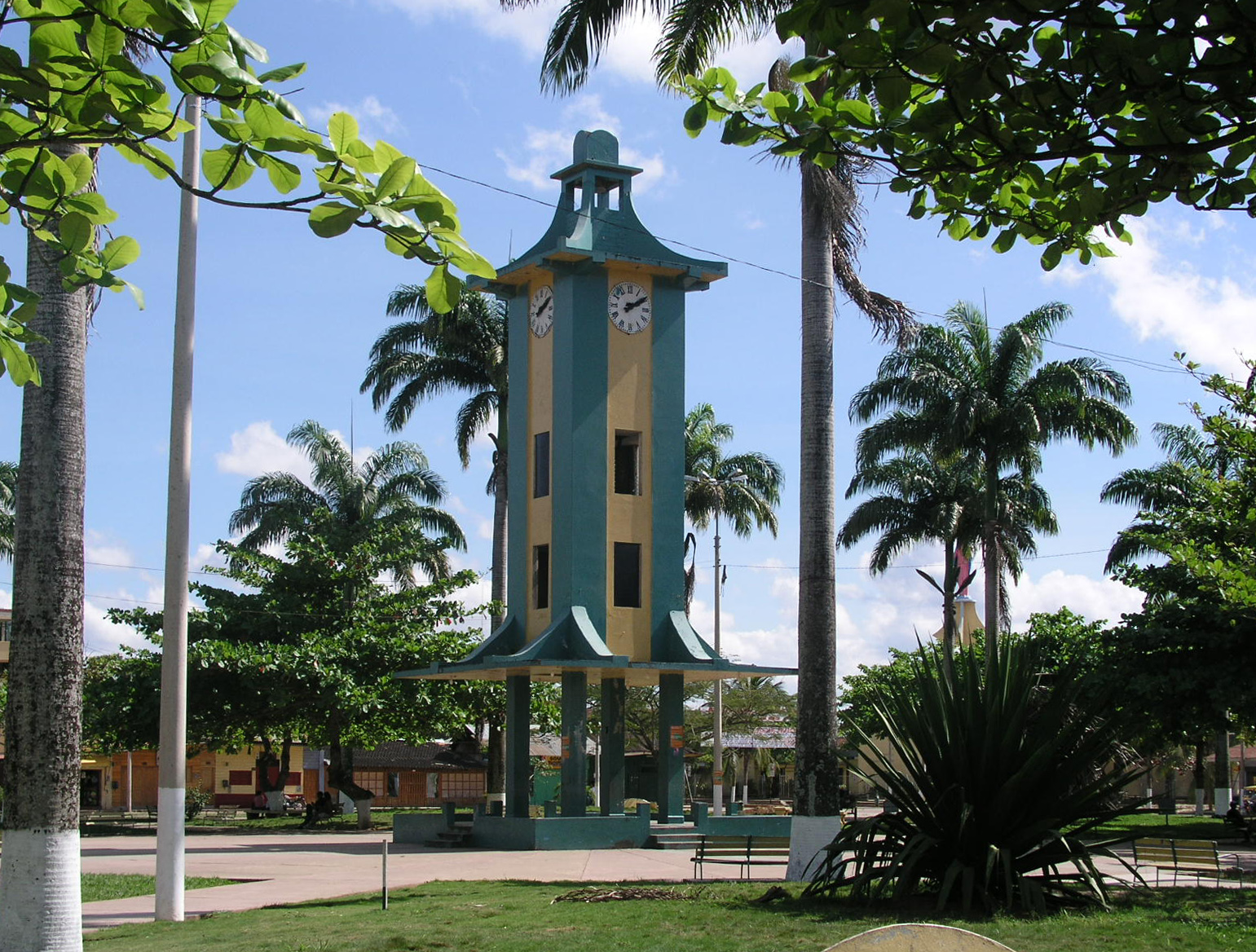
imagesize = 220px
image_caption = Central Plaza in Puerto Maldonado
flag_size =
image_
seal_size = 100px
image_shield =
shield_size =
image_blank_emblem =
blank_emblem_size =
mapsize = 250px
map_caption = Location inPeru
pushpin_
pushpin_label_position =
subdivision_type = Country
subdivision_name =Peru
subdivision_type1 = Region
subdivision_name1 =Madre de Dios Region
subdivision_type2 = Province
subdivision_name2 =Tambopata Province
subdivision_type3 =
subdivision_name3 =
subdivision_type4 =
subdivision_name4 =
government_type =
leader_title =
leader_name =
leader_title1 = Mayor
leader_name1 =
leader_title2 =
leader_name2 =
leader_title3 =
leader_name3 =
leader_title4 =
leader_name4 =
established_title = Founded
established_date = July 10, 1902
established_title2 =
established_date2 =
established_title3 =
established_date3 =
area_magnitude =
unit_pref =
area_footnotes =
area_total_km2 =
area_land_km2 =
area_water_km2 =
area_total_sq_mi =
area_land_sq_mi =
area_water_sq_mi =
area_water_percent =
area_urban_km2 =
area_urban_sq_mi =
area_metro_km2 =
area_metro_sq_mi =
population_as_of =
population_footnotes =
population_note =
settlement_type =
population_total =
population_density_km2 =
population_density_sq_mi =
population_metro =
population_density_metro_km2 =
population_density_metro_sq_mi =
population_urban =
population_density_urban_km2 =
population_density_urban_mi2 =
timezone =UTC-5
utc_offset =
timezone_DST =
utc_offset_DST =
latd=12 |latm=36 |lats=0| latNS=S
longd=69 |longm=11 |longs=0 |longEW=W
elevation_footnotes =
elevation_m = 183
elevation_ft = 600
postal_code_type =
postal_code =
area_code =
website =
footnotes =Puerto Maldonado is a city in Southeastern
Peru in the Amazon forest convert|55|km|mi west of the Bolivian border on the confluence of the Tambopata andMadre de Dios River , a tributary of theAmazon River . It is the capital of theMadre de Dios Region .Nearby are the
Manú National Park , Tambopata National Reserve, andBahuaja-Sonene National Park . These are some of the most pristine primary rain forests in the world, which include severaloxbow lake s and clay licks, where hundreds of birds includingmacaw s feed on clay.History
In 1901, the Peruvian Government created a committee to explore the nation's riverways. Don Juan Villalta led an expedition along the Tambopata River, departing from Sandia. [Sir Clements Markham "The Geographical Journal" [http://books.google.com/books?id=mzEMAAAAIAAJ&pg=PA672 Exploration of Fluvial Highways in Peru] (p. 672). Royal Geographical Society (Great Britain), 1903.] Villata founded Puerto Maldonado on July 10, 1902 as a station where the Tambopata met the Madre de Dios. He named the port after Faustino Maldonado, of
Tarapoto , who had explored the Madre de Dios in 1861 and drowned in the rapids of theMamoré River .The Madre de Dios region was created by law on Dec. 26, 1912 with Puerto Maldonado as its capital. [ [http://www.congreso.gob.pe/congresista/2001/esalhuana/Madre_Dios/Historia/madre_d_dios_new.htm El departamento de Madre de Dios] . History on website of former Congressman
Eduardo Salhuana ] The city was formally recognized in 1985.Climate
Puerto Maldonado is in the tropical
Amazon Basin . The climate is hot and humid at all times. The average annual temperature is convert|26|C|F with the months of August and September being the hottest. Annual rainfall exceeds convert|1000|mm|ft. The wet season is from October to April. The main part of the town is located on a slightly elevated area that does not normally flood in the wet season. Road travel often becomes impossible during this time. A low season occurs between June and August.A common phenomena known locally as a "surazo" or "friaje" occurs when polar winds blow in from the mountainous south. The temperature will drop to as low as convert|8|C|F for several days.
Industry
The chief industries in Puerto Maldonado are logging, gold dredging, Brazil nut collecting, boat building and
eco-tourism . The area is virtually logged out; only one mill remains. Rubber collection is long gone. Recent legislation in the European Union has put hundreds of Brazil nut collectors out of work together with the associated local factory. Small amounts of gold are collected from the river, mostly by small teams of men with hand tools. Tourism and related boat construction are currently the major sources of income. There are several tourist eco-lodges around Puerto Maldonado and in the reserves.Infrastructure
.
Interoceanic Highway
The
Interoceanic Highway or Trans-oceanic highway, now under construction, is intended to link the river ports of Brazil with the Pacific coast ports of Peru. The highway is slated to pass through Puerto Maldonado, crossing the Rio Madre de Dios on a convert|722|m|ft|abbr=on viaduct, the President Guillermo Billinghurst Bridge. The bridge, like the highway, had been proposed decades ago. Construction began under the administration ofAlejandro Toledo but has since stalled due to financial problems. The delays have also contributed to structural deficiencies. [ [http://www.expreso.com.pe/edicion/index.php?option=com_content&task=view&id=22736&Itemid=1 Billinghurst: el puente fantasma] , Expreso (Spanish)]In the greater area around Puerto Maldonado the highway's route cuts through primary rain forest. Some groups, including the Peruvian NGO Asociación Civil Labor, anticipate that the road will initiate
illegal logging , hunting and settlement in areas not easily reached at present, as well as conflict with indigneous people some of who are at present uncontacted by the modern world. [ [http://www.biceca.org/en/Article.28.aspx The Brazil-Peru Trans-Oceanic Highway] , Building Informed Civic Engagement for the Conservation of the Andes Amazon (BICECA)]References
Notes
External links
*
*
* [http://web.wtsonline.co.uk/host/host.php?clientid=138 Tambopata Reserve Society (TReeS)]

Wikimedia Foundation. 2010.