- Okrzeszyn, Lower Silesian Voivodeship
-
For other places with the same name, see Okrzeszyn (disambiguation).
Okrzeszyn — Village — 

 Okrzeszyn
Coordinates: 50°37′N 16°02′E / 50.617°N 16.033°ECoordinates: 50°37′N 16°02′E / 50.617°N 16.033°E Country  Poland
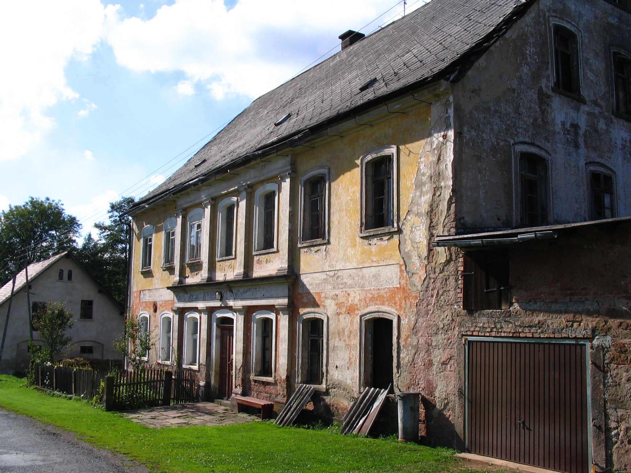
Voivodeship Lower Silesian County Kamienna Góra Gmina Lubawka Population – Total 278 Okrzeszyn [ɔˈkʂɛʂɨn] (German: Albendorf) is a village in the administrative district of Gmina Lubawka, within Kamienna Góra County, Lower Silesian Voivodeship, in south-western Poland, near the border with the Czech Republic.[1] Prior to 1945 it was in Germany.
It lies approximately 10 kilometres (6 mi) south of Lubawka, 23 kilometres (14 mi) south of Kamienna Góra, and 91 kilometres (57 mi) south-west of the regional capital Wrocław.
The village has a population of 278.
References
Town and seat 
Villages Błażejów • Błażkowa • Bukówka • Chełmsko Śląskie • Jarkowice • Miszkowice • Niedamirów • Okrzeszyn • Opawa • Paczyn • Paprotki • Stara Białka • Szczepanów • UniemyślCategories:- Villages in Kamienna Góra County
- Lower Silesia geography stubs


Wikimedia Foundation. 2010.