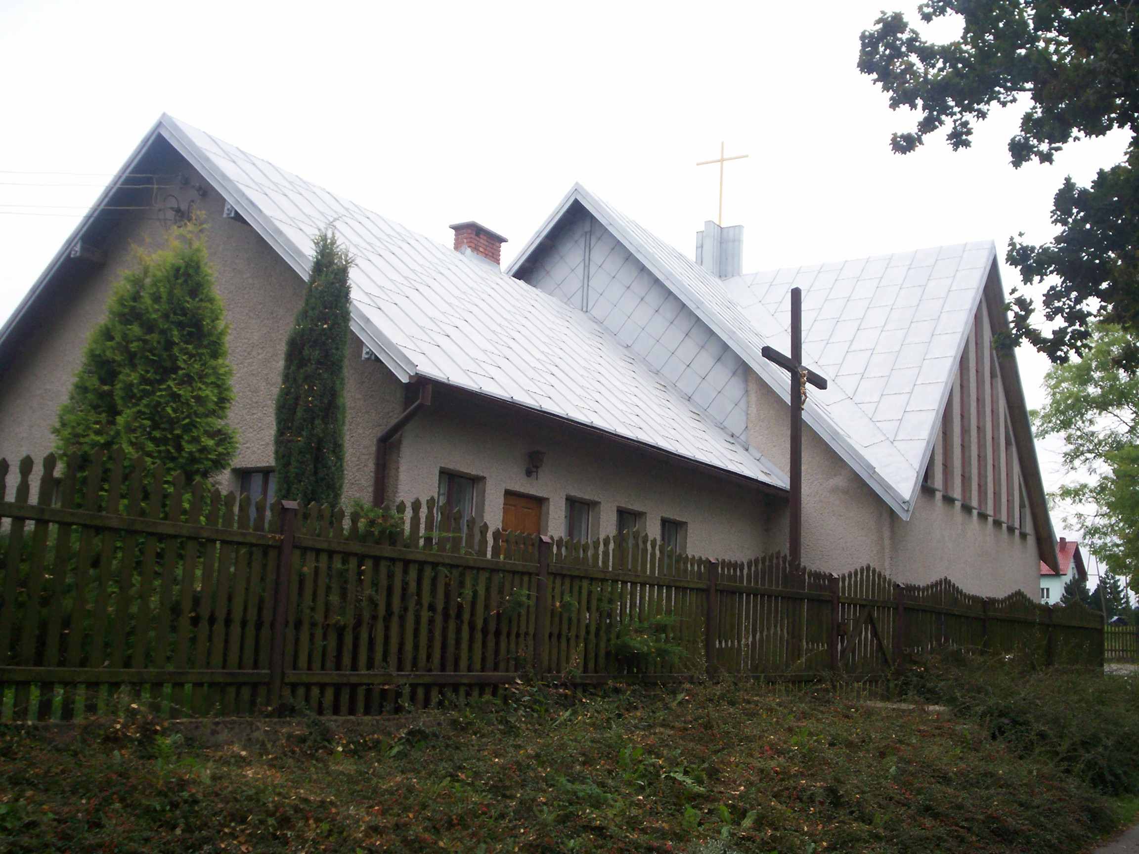
Czadrów

Czadrów
Czadrów
—  Village  —
Czadrów is located in Poland
Czadrów
Coordinates: 50°45′51″N 16°03′41″E / 50.76417°N 16.06139°E / 50.76417; 16.06139Coordinates: 50°45′51″N 16°03′41″E / 50.76417°N 16.06139°E / 50.76417; 16.06139
Country  Poland
Voivodeship Lower Silesian
County Kamienna Góra
Gmina Kamienna Góra
Population 720

Czadrów [ˈt​͡ʂadruf] (German: Ober Zieder) is a village in the administrative district of Gmina Kamienna Góra, within Kamienna Góra County, Lower Silesian Voivodeship, in south-western Poland.[1] Prior to 1945 it was in Germany.

It lies approximately 6 kilometres (4 mi) south of Kamienna Góra, and 80 kilometres (50 mi) south-west of the regional capital Wrocław.

The village has a population of 720.

References


Wikimedia Foundation. 2010.

Игры ⚽ Поможем решить контрольную работу

Look at other dictionaries:

  • Zadrna — (Zieder)Vorlage:Infobox Fluss/GKZ fehlt Lage Polen Flusssystem Oder Vorlage:Infobox Fluss/ABFLUSSWEG fehlt Quelle be …   Deutsch Wikipedia

  • Gmina Kamienna Góra — Infobox Settlement name = Gmina Kamienna Góra other name = Kamienna Góra Commune settlement type = Gmina subdivision type = Country subdivision name = POL subdivision type1 = Voivodeship subdivision name1 = Lower Silesian subdivision type2 =… …   Wikipedia

  • Czarnów, Lower Silesian Voivodeship — For other places with the same name, see Czarnów (disambiguation). Czarnów   Village   …   Wikipedia

  • Dębrznik —   Village   …   Wikipedia

  • Dobromyśl, Lower Silesian Voivodeship — For other places with the same name, see Dobromyśl (disambiguation). Dobromyśl   Village   …   Wikipedia

  • Nowa Białka —   Village   Country  Poland Voivodeship Lower Silesian …   Wikipedia

  • Ogorzelec, Kamienna Góra County — For other places with the same name, see Ogorzelec (disambiguation). Ogorzelec   Village   …   Wikipedia

  • Olszyny, Lower Silesian Voivodeship — For other places with the same name, see Olszyny (disambiguation). Olszyny   Village   …   Wikipedia

  • Bahnstrecke Kamienna Góra–Okrzeszyn — Ziedertalbahn Kamienna Góra–Okrzeszyn Streckennummer: 330 (D 29) Streckenlänge: 21,571 km Spurweite: 1435 …   Deutsch Wikipedia

  • Bahnstrecke Landeshut–Albendorf — Kamienna Góra–Okrzeszyn Streckennummer: 330 (D 29) Streckenlänge: 21,571 km Spurweite: 1435 mm (Normalspur) Legende …   Deutsch Wikipedia

Share the article and excerpts

Direct link
Do a right-click on the link above
and select “Copy Link”