- Bay of Cárdenas
Location map |Cuba1
lon_dir = W
lat_dir = N
lat_deg = 23
lat_min = 05
lat_sec = 35
lon_deg = 81
lon_min = 09
lon_sec = 55
position = none
float = right
width = 300
Alternative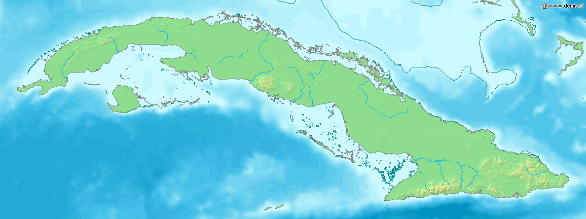
caption=Location of Bay of Cárdenas inCuba The Bay of Cárdenas ( _es. Bahía de Cárdenas) is a shallowbay onCuba 's northern shore, in the province of Matanzas.It is located on the Cuban coast, facing the
Nicholas Channel , and is delimited to the north by theHicacos Peninsula . [Cite web|url=http://es.encarta.msn.com/encyclopedia_961534805/Bah%C3%ADa_de_C%C3%A1rdenas.html|title=Bahía de Cárdenas|author=Encarta (Spanish)|accessdate=2007-10-14 es icon] To the north-east it is flanked bycay s of theSabana-Camaguey Archipelago , such as Cayo Cruz del Padre, Cayo Galindo and Cayo Cinco Leguas. To the south-east it is bordered by the coastal wetlands andmangrove s of Martí as well as theBay of Santa Clara . The port and the city of Cárdenas are located on the south-eastern shore. The bay has a total area of more than km2 to mi2|250|abbr=yes. An artificial navigation channel (Kawama Channel) connects the bay to the Straits of Florida south of the town of Varadero.Other than the industrial port of Cardenas, other
marina s lining the bay are located at Siguapa and Júcaro. The waters of the bay are also used for fishinglobster . On the southern shore, a combination of cays (Cayo Cupey) and causeways is used for oil extraction. [Cite web|url=http://www.gulfbase.org/bay/view.php?bid=bdc2|title=Bay of Cardenas|author=Gulf base|accessdate=2007-10-14]The bay was the stage of the
Battle of Cárdenas on May 11, 1898, during theSpanish-American War . [cite book | title = The Spanish-American War, 1898 | author =Albert A. Nofi | year = 1996 | publisher = Combined Books | id = ISBN 0938289578 ]References
----
Wikimedia Foundation. 2010.