- Vorma
Infobox River
river_name = Vorma
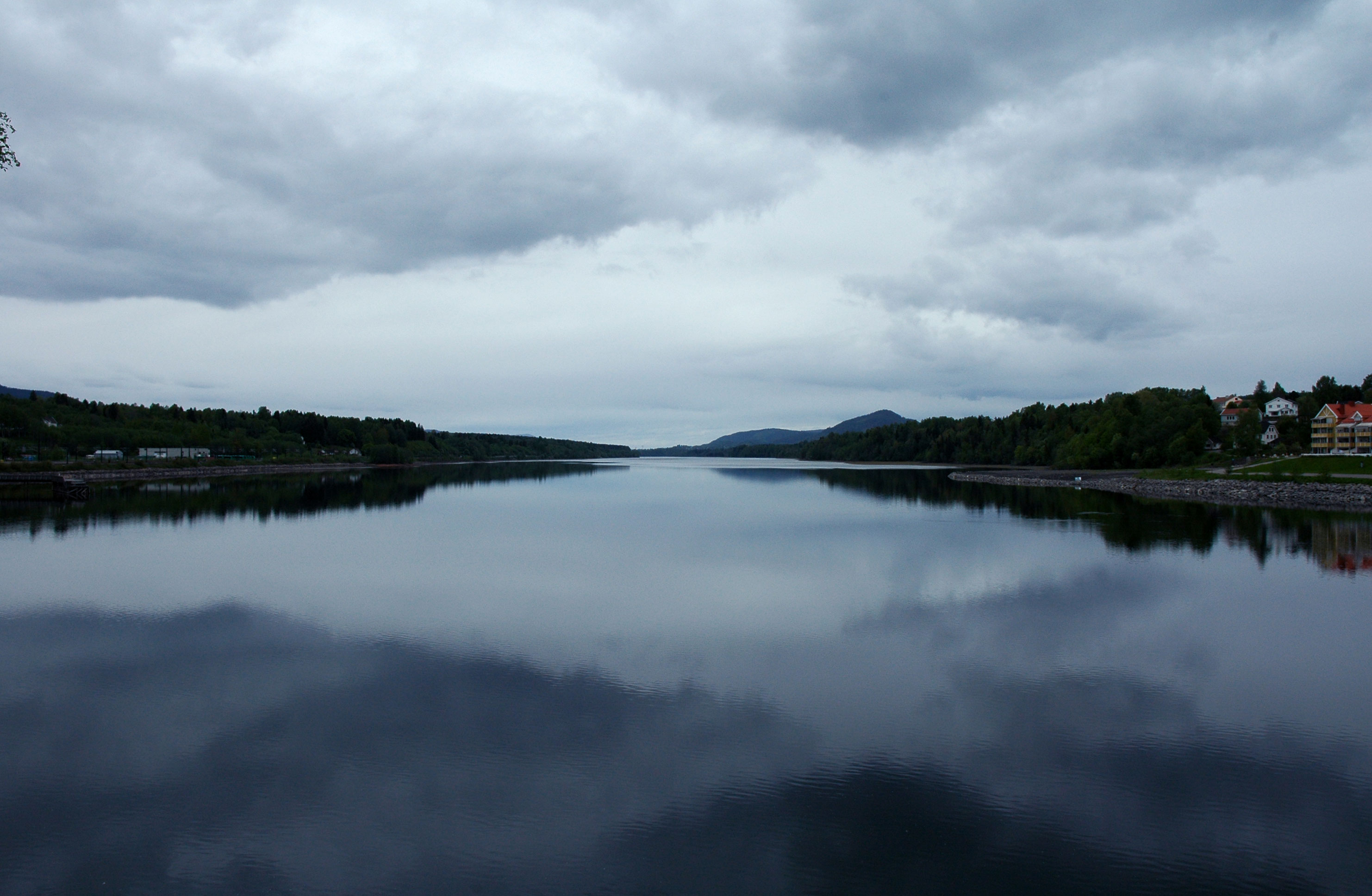
caption = Vorma from theEidsvoll train station looking north
origin =Mjøsa
mouth =Glomma ,Årnes
basin_countries =Norway
length = 30 km
elevation
mouth_elevation =
discharge =
watershed =Vorma is a river in
Norway that brings water from lakeMjøsa into theGlomma river. The Vorma is 30 kilometers long and flows through the town ofEidsvoll . The Vorma goes from Lake Mjøsa via Minnesund to join with the Glomma atÅrnes .Vorma was so named because it was a "warm" river that never freezes over, while both the Glomma and the
Gudbrandsdalslågen routinely freeze. The junction of the Vorma with the Glomma at Årnes andNes is the site of the Funnefoss on the Glomma, a 10 meter fall.History
The junction of the Minnesund and the Vorma, Eidsvoll, served as an ancient 'ting'place - or meeting place for the local council or parliament - for
Romerike during the period when travel by boat was much easier than by land. The "Eidsivating" was, according to tradition, founded by Halvdan Svarte, and served as the 'ting' place for all of theOppland s andViken . Saint Olav also held a ting there and built a church at this site in 1017. In 1795 a landslide totally blocked the Vorma atDisen for 111 days, completely drying the riverbed. A channel was cut around it to prevent a major overflow, with accompanying downstream damage.On the Vorma, south of
Eidsvoll , lies the Svanfoss where the water level in Lake Mjøsa is regulated. A 60 meter long by 6 meter wide lock, which bypassed the Svanfoss, lifting boats 3 meters to allow the bypassing of the fall, opened in 1906.References
* "East Norway and its Frontier" by Frank Noel Stagg, George Allen & Unwin, Ltd. 1956
External links
* [http://kanaler.arnholm.nu/skandinavien/norge/vormas.html An overview of Norwegian canals, including one on the Vormas]
Wikimedia Foundation. 2010.