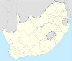
- Magaliesburg, Gauteng
-
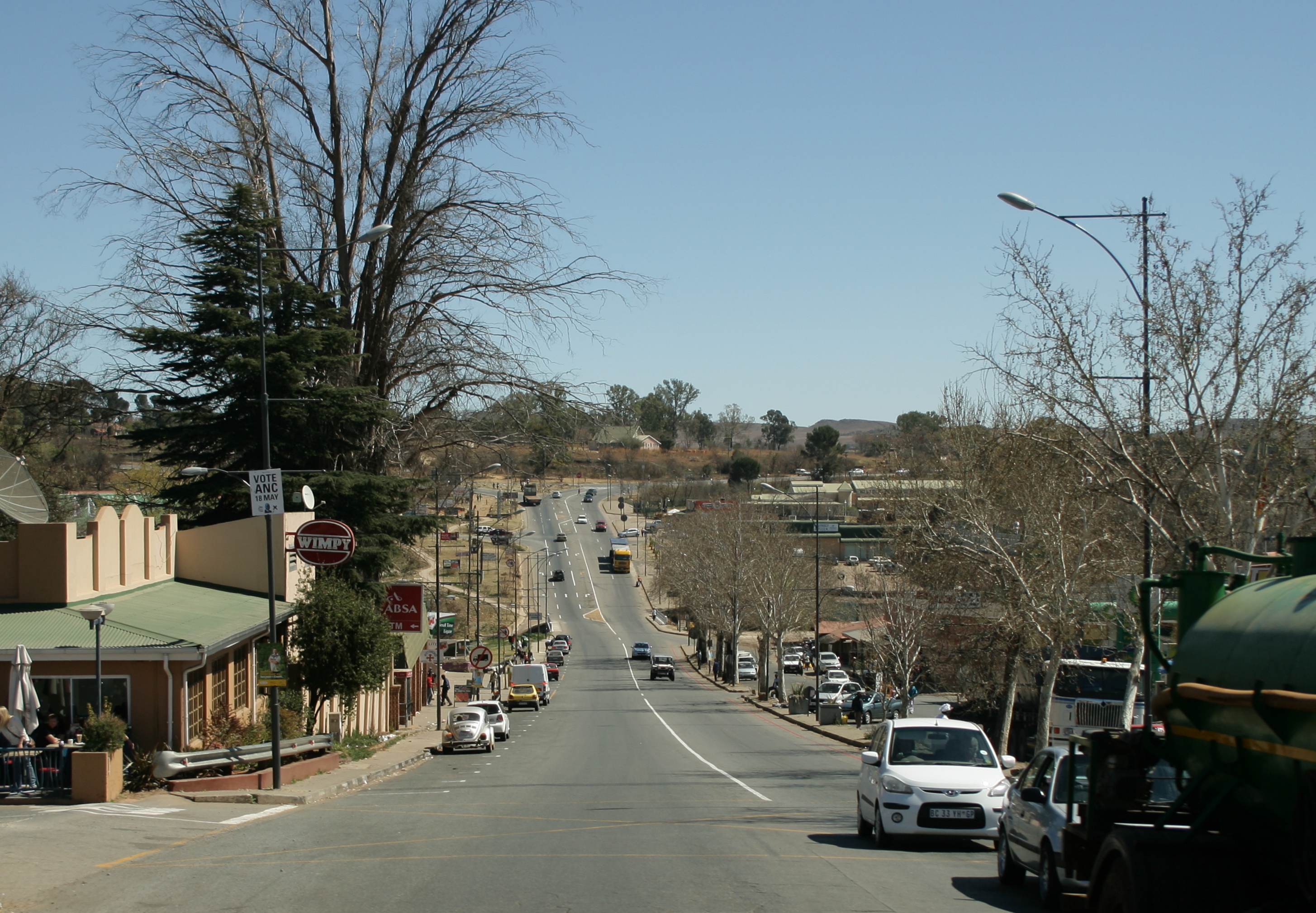
Magaliesburg The R24 forms the main road through Magaliesburg
 Magaliesburg
Coordinates: 26°00′00″S 27°32′45″E / 26°S 27.54583°ECoordinates: 26°00′00″S 27°32′45″E / 26°S 27.54583°E Country South Africa Province Gauteng District municipality West Rand District Municipality Local municipality Mogale City Time zone SAST (UTC+2) Postal code  Amethyst cluster from Magaliesburg, a Wikipedia:featured picture
Magaliesburg is a small town situated below the Witwatersrand mountain range in Gauteng, South Africa. The Magaliesberg mountain range is north and visible from town, hence the name "Magaliesburg". Burg is the Afrikaans name for Town whereas Berg is for mountain.
The town and surrounds are popular holiday and weekend destinations for the residents of Johannesburg.
External links
Categories:- Visitor attractions in South Africa
- Populated places in Gauteng
- Gauteng geography stubs


Wikimedia Foundation. 2010.