- Dixie Inn, Louisiana
-
Village of Dixie Inn Village  Dixie Inn Village Hall
Country United States State Louisiana Parish Webster Elevation 167 ft (50.9 m) Coordinates 32°35′40″N 93°20′12″W / 32.59444°N 93.33667°W Area 0.3 sq mi (0.8 km2) - land 0.3 sq mi (1 km2) - water 0.0 sq mi (0 km2), 0% Population 352 (2000) Density 1,163.9 / sq mi (449.4 / km2) Timezone CST (UTC-6) - summer (DST) CDT (UTC-5) Area code 318 
 Location of Dixie Inn in Louisiana
 Location of Louisiana in the United States
 Water tower in Dixie Inn
Dixie Inn is a village in Webster Parish, Louisiana, United States. The population was 352 at the 2000 census. It is located off Interstate 20 at the old Shreveport Road some twenty-six miles east of Shreveport. Minden, the seat of Webster Parish, is located some two miles to the east. Dixie Inn is part of the Minden Micropolitan Statistical Area.
Most of the original houses in Dixie Inn were built during World War II to serve munitions workers at the former Louisiana Army Ammunition Plant located off U.S. Highway 80 to the east.
Dixie Inn was incorporated in 1956. The Clyde A. Stanley (1910-1959), was the first mayor of the village, having defeated James William "Tinker" Volentine (1915–1982), 69-54 votes. All but seven of the registered voters participated in the election.[1]
Contents
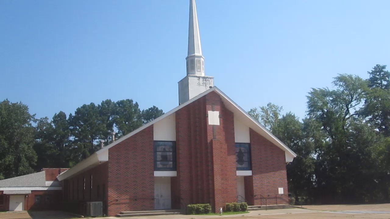
Historic Antioch Baptist Church
The Antioch Baptist Church in Dixie Inn was first established in September 1858 as the Gum Spring Church near the site of the much later Louisiana Army Ammunition Plant. The church moved eastward to the existing site effective February 25, 1872. The church observed a centennial ceremony on that day in 1972. In 1882, fire destroyed the building and all records. The structure was rebuilt and new rooms were added over the years. In 1943, the church called J.R. Hearron as its first full-time pastor.[2]
A new and larger facility was built in 1957 during the tenure of pastor Millard R. Perkins. Soon the educational building was razed by fire and had to be rebuilt. On October 7, 1959, the church held its first service in the current sanctuary and adjoining rooms. Since Hearron, the pastors have included Cecil Basham, J. Guy Allen, Perkins, T.E. Windsor, Jack Edwin Byrd, Sr., Charles W. Wallace, and Malcolm Self. Wayne Reeves was called from Antioch as a pastor in Many.[2]
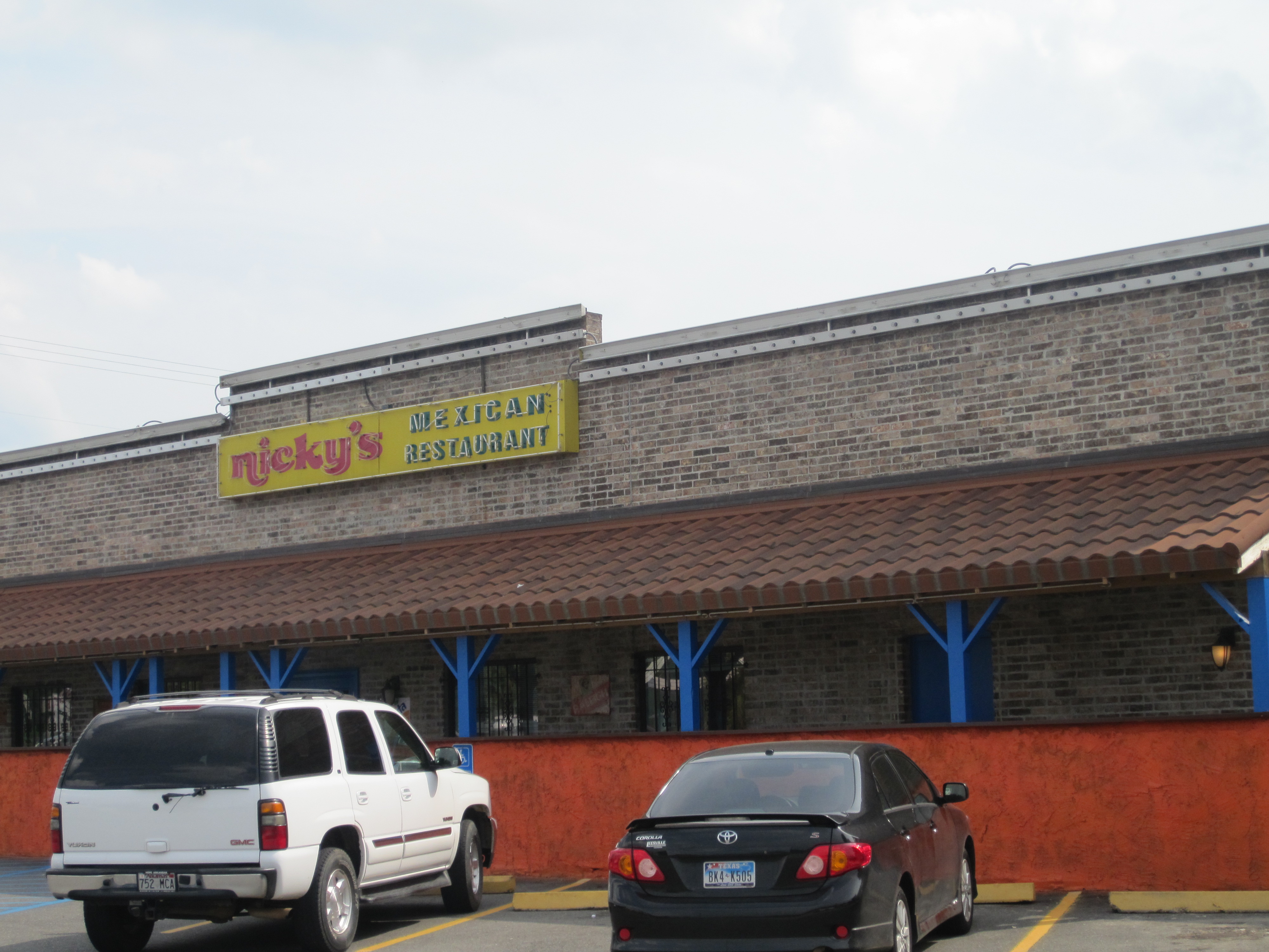
 Nicky's Mexican Restaurant is located at the intersection of the Cotton Valley Highway and Shreveport Road in Dixie Inn.
Geography
Dixie Inn is located at 32°35′40″N 93°20′12″W / 32.59444°N 93.33667°W (32.594552, -93.336707)[4].
According to the United States Census Bureau, the village has a total area of 0.3 square miles (0.78 km2), all land.
Demographics
As of the census[5] of 2000, there were 352 people, 146 households, and 88 families residing in the village. The population density was 1,163.9 inhabitants per square mile (453.0/km²). There were 189 housing units at an average density of 624.9 per square mile (243.2/km²). The racial makeup of the village was 81.25% White, 16.76% African American, 1.14% Native American, 0.28% from other races, and 0.57% from two or more races. Hispanic or Latino of any race were 0.28% of the population.
There were 146 households out of which 32.9% had children under the age of 18 living with them, 32.2% were married couples living together, 19.2% had a female householder with no husband present, and 39.7% were non-families. 32.2% of all households were made up of individuals and 13.0% had someone living alone who was 65 years of age or older. The average household size was 2.41 and the average family size was 3.03.
In the village the population was spread out with 28.7% under the age of 18, 9.7% from 18 to 24, 31.8% from 25 to 44, 18.2% from 45 to 64, and 11.6% who were 65 years of age or older. The median age was 32 years. For every 100 females there were 90.3 males. For every 100 females age 18 and over, there were 88.7 males.
The median income for a household in the village was $21,500, and the median income for a family was $19,750. Males had a median income of $28,000 versus $20,500 for females. The per capita income for the village was $12,303. About 27.2% of families and 29.1% of the population were below the poverty line, including 40.5% of those under age 18 and 13.3% of those age 65 or over.
References
- ^ Minden Herald, June 13, 1957, p. 1
- ^ a b "Antioch Baptist Church Celebrating 100th Year", Minden Press-Herald, February 23, 1972, pp. 1, 8
- ^ http://www.wcbcenter.com/templates/System/details.asp?id=20307&PID=535121&Style=
- ^ "US Gazetteer files: 2010, 2000, and 1990". United States Census Bureau. 2011-02-12. http://www.census.gov/geo/www/gazetteer/gazette.html. Retrieved 2011-04-23.
- ^ "American FactFinder". United States Census Bureau. http://factfinder.census.gov. Retrieved 2008-01-31.
Municipalities and communities of Webster Parish, Louisiana Cities 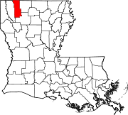
Towns Cotton Valley | Cullen | Sarepta | Sibley
Villages Categories:- Villages in Louisiana
- Populated places in Webster Parish, Louisiana


Wikimedia Foundation. 2010.