Sheepshead Bay Houses

Sheepshead Bay Houses
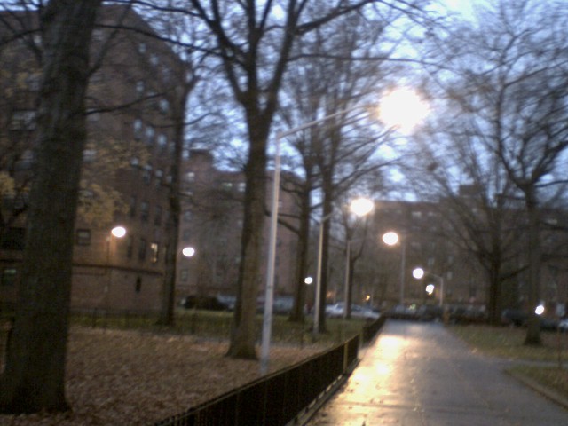
Dusk in Sheepshead Houses

The Sheepshead Bay/Nostrand Houses housing projects are located in the Sheepshead Bay section of Brooklyn, New York, bounded by Nostrand Avenue, Bragg St., Avenue V and Avenue X. Avenue W and Batchelder Street run through the development to divide it into a four block complex. All of its 34 buildings are six stories high. Some have lobbies, others do not. Buildings located west of Batchelder Street are labeled as Sheepshead Bay Houses and buildings located east of Batchelder Street are labeled as Nostrand Houses but they are operated as one housing complex.

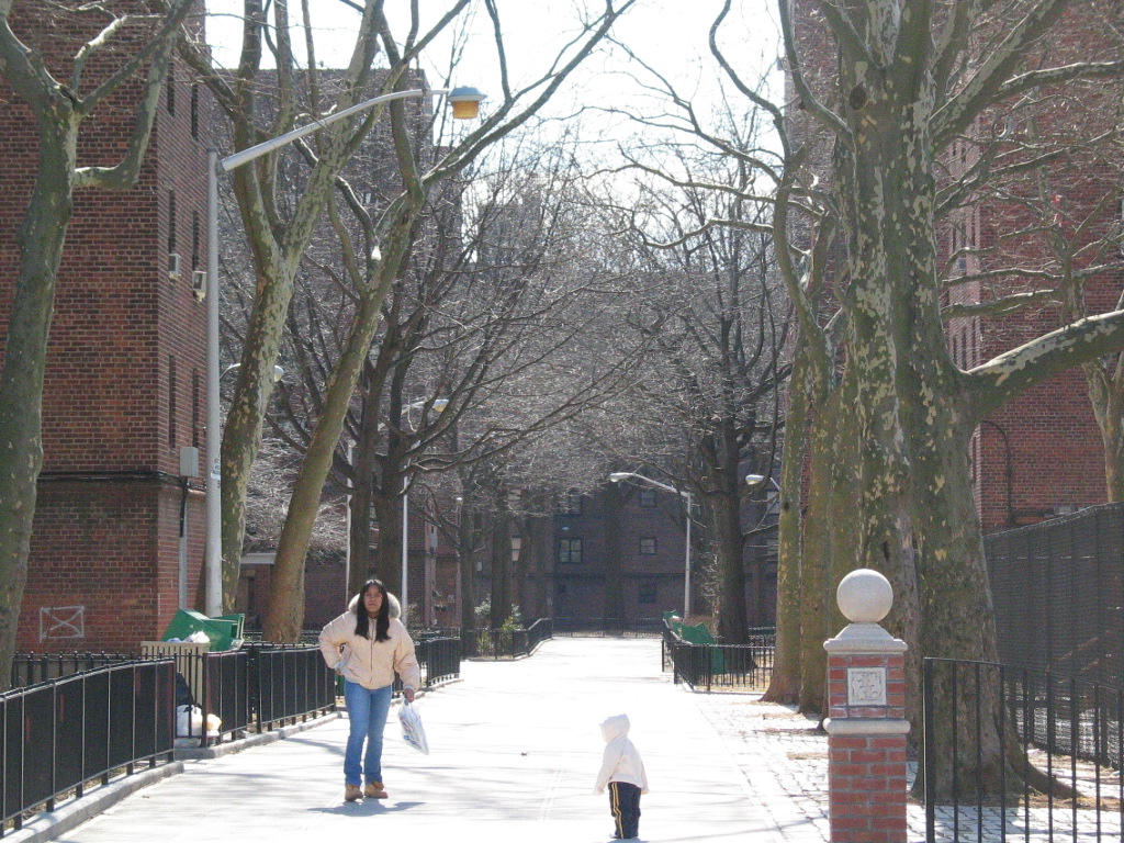
NYCHA, Sheepshead Houses

Local residents have deemed these developments relatively safe and quiet in comparison to other NYCHA developments, though crime does sporadically occur in the area. These premises are patrolled by the 60th and 61st precincts as well as the New York City Police Department Housing Bureau.

The Shellbank Junior High School (I.S. 14) and Sheepshead Bay High School serve this area.

Coordinates: 40°35′46″N 73°56′18″W / 40.5962°N 73.9382°W / 40.5962; -73.9382


Wikimedia Foundation. 2010.

Игры ⚽ Поможем решить контрольную работу

Look at other dictionaries:

  • New York City Housing Authority — (NYCHA) Agency overview Jurisdiction New York City Headquarters 250 Broadway New York, New York Agency executive …   Wikipedia

  • Ocean Hill, Brooklyn — Houses in Ocean Hill. Ocean Hill is a subsection of Bedford Stuyvesant in the New York City borough of Brooklyn. Founded in 1890, the neighborhood is part of Brooklyn Community Board 3 and Brooklyn Community Board 16.[1] …   Wikipedia

  • Chinatown, Brooklyn — 8th Avenue in Brooklyn Chinatown Traditional Chinese 布魯克林華埠 Simplified Chinese …   Wikipedia

  • BMT Brighton Line — The BMT Brighton Line is a rapid transit line of the B Division of the New York City Subway in Brooklyn, New York City, United States. Local service is provided full time by Q trains, and B trains run along the express tracks during the daytime,… …   Wikipedia

  • NEW YORK CITY — NEW YORK CITY, foremost city of the Western Hemisphere and largest urban Jewish community in history; pop. 7,771,730 (1970), est. Jewish pop. 1,836,000 (1968); metropolitan area 11,448,480 (1970), metropolitan area Jewish (1968), 2,381,000… …   Encyclopedia of Judaism

  • Coney Island — For other uses, see Coney Island (disambiguation). Coney Island peninsula from the air …   Wikipedia

  • Neighborhoods in New York City — The five boroughs: 1: Manhattan, 2: Brooklyn, 3: Queens, 4: The Bronx, 5: Staten Island The Neighborhoods in New York City are located within The Five Boroughs of …   Wikipedia

  • Quartiers de New York — Carte représentant les quartiers de New York Les quartiers de New York sont dispersés à travers les 5 arrondissements (Boroughs) qui composent la ville: Manhattan, Brooklyn, Queens, Bronx et Staten Island …   Wikipédia en Français

  • Brooklyn — Infobox Settlement name = Brooklyn official name = Kings County other name = native name = settlement type =Borough of New York City total type = motto = imagesize = image caption = View of Brooklyn Heights from South Street Seaport. flag size =… …   Wikipedia

  • Dyker Heights, Brooklyn — Dyker Heights The Saitta House, an original Dyker Heights home Nickname(s): Dyker Motto: The Handsomest Suburb in Greater New York …   Wikipedia

Share the article and excerpts

Direct link
Do a right-click on the link above
and select “Copy Link”