- Judice, Louisiana
Geobox Settlement
name = Judice
native_name =
other_name =
other_name1 =
category =Unincorporated community
image_size =
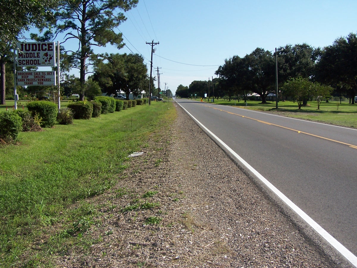
image_caption = Downtown Judice
flag_size =
symbol =
symbol_size =
symbol_type =
country = United States
state = Louisiana
region = Lafayette
region_type = Parish
area_imperial = 8.9
area_land_imperial = 8.9
area_water_imperial = 0.0
area_water_percentage = auto
area_percentage_round = 2
area_round = 1
location =
lat_d = 30
lat_m = 14
lat_s = 17
lat_NS = N
long_d = 92
long_m = 05
long_s = 31
long_EW = W
elevation_imperial = 36
elevation_round = 1
population_as_of = 2000
population =
population_density_imperial =
population_density_round = 1
established_type =
established =
mayor =
timezone = CST
utc_offset = -6
timezone_DST = CDT
utc_offset_DST = -5
postal_code =
postal_code_type =
area_code = 337
area_code_type =
code2_type =
code2 =
free_type =
free =
free1_type =
free1 =

map_size =
map_caption = Location of Judice in Louisiana
map_locator = Louisiana
map1 = Map of USA LA.svg
map1_caption = Location of Louisiana in the United States
website =Judice is an unincorporated town in
Lafayette Parish ,Louisiana ,USA ."Foreman Flats" was the original name of the area, which included Ridge Road in the north, Doc Duhon Road in the south, Lagneaux Road in the east, and South Fieldspan Road in the west. However, the Judice area is known as residing between W. Congress street,
Coulee Isle des Cannes /Johnston Street, S. Richfield, and Percy Bourque Road/John LeBlanc Road in Lafayette Parish. The community is located near the intersection of LA Hwy 724 and LA Hwy 342.The first settler was Edward G. F. Broussard in 1858 when he bought 160 acres. Other original settlers of the area came from Georgia,
South Carolina , andNorth Carolina . John C. Smith was also one of the early settlers and he was the only known slave owner. After the end of slaver, many of Smith's slaves stayed on the land and worked as tenant farmers which still live in the Judice area today.In 1900, increasing school enrollment led to the building of three new schools in the area; the Burke School, Alex Broussard School, and Alcide Judice School. These were meant to replace the one-room schools that were scattered in this part of the parish.
During
the Great Depression of the 1930s, Gerard Foreman's land was repossesed for the purpose of building Judice High School, named after Alcide Judice, a successful merchant and political activist who contributed to the parish's education. Within a short time, people began referring to the area as Judice.Today
This area of Lafayette Parish was, as it is today, mostly rural, and still involved in agricultural pursuits. Today, rice and crawfish are the major uses of agricultural property in the vicinity, along with dairy farming, oil and mineral leases, and horse training. [ [http://grayfoxonline.mywowbb.com/forum20/4785.html grayfoxonline.mywowbb.com "Early Settlement of Judice and Ridge"] ] [ [http://www.wadefalcon.com/judiceridgehistory/ www.wadefalcon.com "History of Judice, Louisiana and Ridge, Louisiana"] ] Judice is also a very common name in Louisiana.
References
Wikimedia Foundation. 2010.