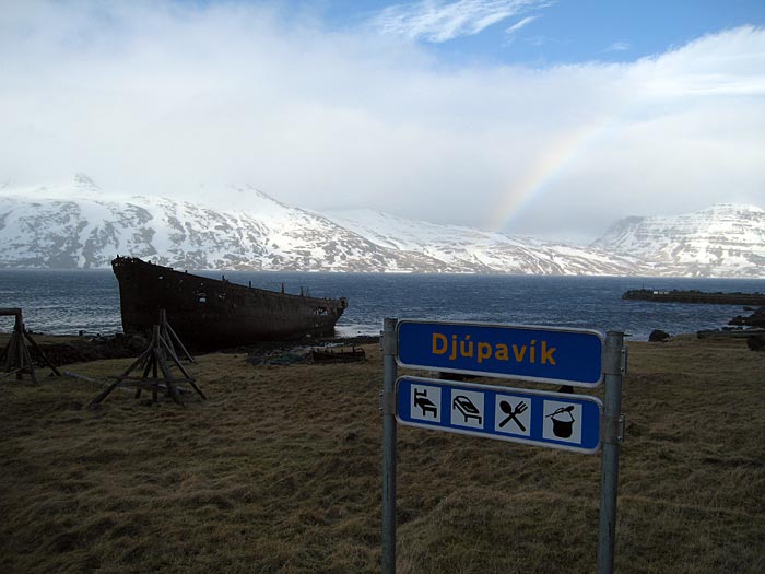
- Djúpavík
-
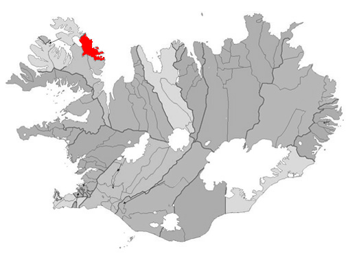
Djúpavík — Village — The village of Djúpavík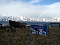 Location of the Municipality of Árneshreppur
 Location of the Municipality of Árneshreppur
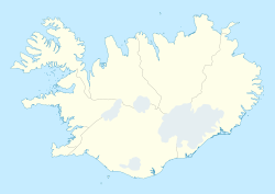
 Djúpavík
Coordinates: 65°57′N 21°34′W / 65.95°N 21.567°W Country  Iceland
Constituency[1]  Norðvesturkjördæmi
Region[2]  Vestfirðir
County  Strandasýsla
Municipality Árneshreppur Time zone GMT (UTC+0) Póstnúmer 524 Website Official website Djúpavík is a small village in the North-West of Iceland.
It is located at the head of Reykjarfjörður on the Strandir coast in the Westfjords region (Vestfirðir), in the municipality of Árneshreppur.
It is approximately 70 km away from Hólmavík (the nearest settlement of any account), 280 km from Ísafjörður and 340 km from the country's capital Reykjavík. At present it only consists of seven houses, a hotel and the ruinous remains of a herring factory. It can be reached by car via road 643 or by plane via the nearby Gjögur Airport.
History of settlement
Djúpavík was first settled in 1917 when Elías Stefánsson built a hering salting factory there. However, due to economic depression, this enterprise went bankrupt in 1919 and, although the business was briefly taken over by others, the site was abandoned during the 1920s.
1934 saw the resettlement of Djúpavík with the foundation of Djúpavík Ltd. in September of that year. A new factory was built (at the time of its construction it was the biggest concrete building in Iceland and one of the biggest in Europe) and despite the harsh conditions the construction was completed within the span of just one year and the factory was operational by July 1935. Initial worries that the catches would not meet requirements proved unfounded and during its early years the enterprise boomed, bringing improved financial status and living standards to the whole region.
Herring catches started to decline after 1944, with a sharp drop in 1948 (when there were almost no catches for two years) and, despite attempts to keep the enterprise running by processing other fish besides herring, the factory closed in 1954 while Djúpavík Ltd. was officially wound down in 1968. After this the residents moved away and the settlement was abandoned again.
In 1985 Hótel Djúpavík was established in the old women's quarters and conservation of the factory and other buildings began.
References
External links
- djupavik.com Homepage of Djúpavík
Coordinates: 65°56′41″N 21°33′25″W / 65.94472°N 21.55694°W
Categories:- Populated places in Iceland

Wikimedia Foundation. 2010.