- Maine Huts and Trails
-
Maine Huts and Trails is a non-profit public service organization that aims to create a 180-mile network of cross-country ski trail stretching between the Mahoosuc Range in western Maine to Moosehead Lake, the state's largest water body.
Overview
According to plans, the southern gateway will be near Bethel, and it will terminate in Rockwood, on the western shore of Moosehead. Along the way, up to 12 wilderness huts will be constructed, each sleeping up to 45 skiers. The distance between huts will average 14 miles.
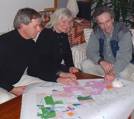
 Larry Warren, Suzie Hockmeyer and John Willard consider route alternatives at a 2002 Maine Huts and Trails planning session. Scott Andrews photo
The proposed route very roughly parallels the Appalachian National Scenic Trail, but generally follows river valleys and utilizes many long-abandoned logging roads that criss-cross the region.
The organization has raised approximately $4.5 million to date and opened its first hut, at Poplar Stream Falls in Carrabassett Valley, on Feb. 16, 2008. It features several heated bunkhouses, which accommodate between four and 12 people apiece, plus a central lodge with kitchen, rest rooms, dining room and common area. Breakfast and dinner are served to guests.
Most of the trails between Carrabassett Valley and The Forks have been cut and are skiable, but several key bridges remain to be built.
Two additional huts are scheduled for construction in 2008; a total of three should be open to the public for the winter of 2008-2009.
Much of the land for this project -- including Poplar Stream Falls Hut site -- is leased from the Penobscot Indian Nation.
Maine Huts and Trails founder and president is Larry Warren of Carrabassett Valley, who first envisioned the trail network in 1974 and borrowed the huts concept from the Appalachian Mountain Club. In terms of architecture, the hut designs reflect traditional Maine sporting camps.
Promoting winter tourism in the region is one of Warren's stated goals. He was formerly involved in developing Sugarloaf into the state's second busiest ski resort, and he envisions Maine Huts and Trails fitting into the official ecotourism campaign.
Executive director is Dave Herring, who formerly ran the White Mountain hut system for the Appalachian Mountain Club. Maine Huts and Trails' headquarters is located at 375 Main Street in Kingfield.
External links
Categories:- Non-profit organizations based in the United States
- Organizations based in Maine
Wikimedia Foundation. 2010.