Bega River (New South Wales)
- Bega River (New South Wales)
:"For other meanings, see: Bega River (disambiguation page)."Infobox River
river_name = Bega River
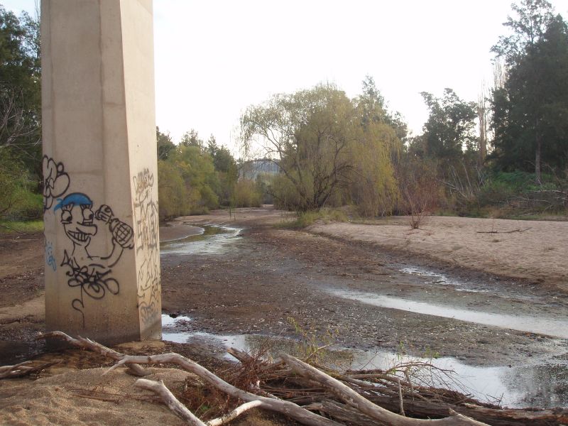
caption = Looking upstream from the Bega Bridge
origin = Kybeyan Range
mouth = Tathra, New South Wales
basin_countries = Australia
length =
elevation =
discharge =
watershed = 2,850 km²The Bega River is located in the far South Coast of New South Wales, Australia. The river rises in the Kybeyan Range, part of the Great Dividing Range, and discharges into the South Pacific Ocean at the town of Tathra. The river is known as the Bemboka River in its upper reaches and its major tributary is the Brogo River with a confluence at the town of Bega.[cite web]
url = http://www.envcomm.act.gov.au/rsoe/begavalley/begavalleyinfo
title = Bega Valley Shire
publisher = ACT Commissioner for the Environment
accessdate = 2007-08-27] References
Wikimedia Foundation.
2010.
Look at other dictionaries:
South Coast (New South Wales) — Infobox Australian Place | type = region name = South Coast state = nsw caption = Looking into Batemans Bay from the south lga = pop = stategov = fedgov = Eden Monaro and GilmoreThe South Coast refers to the narrow coastal belt from Sydney in the … Wikipedia
Rivers of New South Wales — Thunderbolts Way and the bridge over the Little Manning River. This page discusses the rivers and hydrography of the State of New South Wales, Australia. The principal topographic feature of New South Wales is the series of low highlands and… … Wikipedia
New South Wales Legislative Assembly electoral districts — The New South Wales Legislative Assembly is elected from 93 single member electorates called districts. Current districts This is a list of districts for the 2007 general election.* Albury * Auburn * Ballina * Balmain (1880 1894: Balmain; 1894… … Wikipedia
Malua Bay, New South Wales — Malua Bay New South Wales Panorama taken at Malua Bay … Wikipedia
Culburra Beach, New South Wales — Culburra Beach New South Wales Northern end of Warrain Beach, the main surfing beach … Wikipedia
Mystery Bay, New South Wales — A beach at Mystery Bay Mystery Bay is a small town on the south coast of New South Wales, Australia. Mystery Bay is located halfway between Central Tilba and Narooma, two kilometers off the Princes Highway on Mystery Bay Road. At the 2006 census … Wikipedia
Batemans Bay, New South Wales — Infobox Australian Place type = town name = Batemans Bay state = nsw imagesize = 270 caption = Location of Batemans Bay in New South Wales (red) pop = 10,845 pop footnotes = Census 2006 AUS|id=UCL105400|name=Batemans Bay (Urban… … Wikipedia
Auckland County, New South Wales — Infobox Australian cadastral name = Auckland state = New South Wales caption = Location in New South Wales near nw = Beresford near n = Dampier near ne = Pacific Ocean near w = Wellesley near e = Pacific Ocean near sw = Croajingolong (Vic) near s … Wikipedia
Tuross Head, New South Wales — Infobox Australian Place | type = town name = Tuross Head state = New South Wales caption = Tuross River entrance lga = Eurobodalla Shire Council postcode = 2537 pop = 2,116 (2001 census) stategov = Bega fedgov = Eden MonaroTuross Head is a… … Wikipedia
Nelligen, New South Wales — Nelligen New South Wales Wharf at Nelligen on the Clyde River … Wikipedia