- Crest Hill, Illinois
-
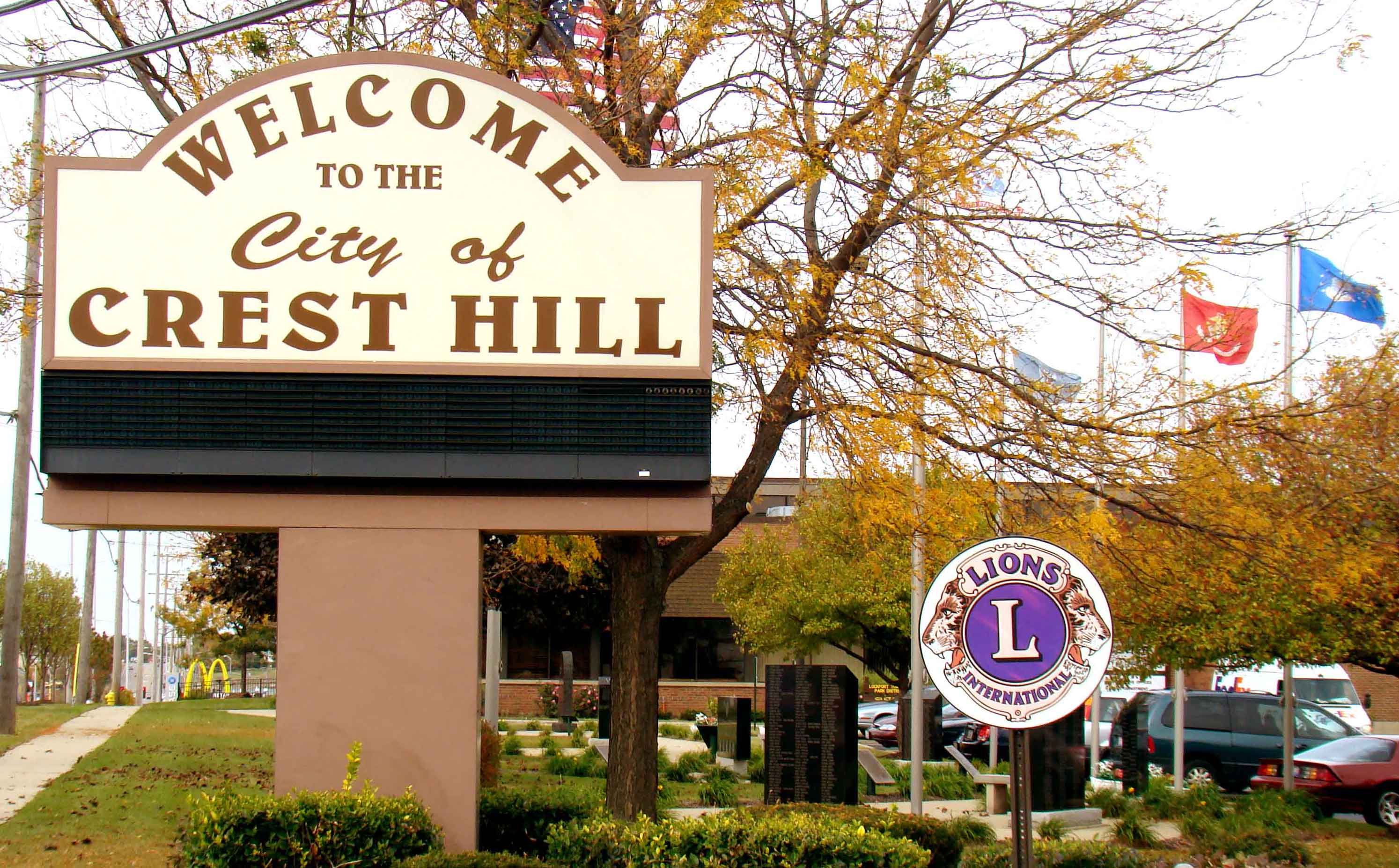
City of Crest Hill, Illinois Lidice 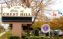 City of Crest Hill - City Hall - Fall 2011
Country United States State Illinois County Will Township Lockport Township, Plainfield Township Coordinates 41°33′52″N 88°6′31″W / 41.56444°N 88.10861°W Area 7.3 sq mi (19 km2) - land 7.3 sq mi (19 km2) Population 20,867 (2010) Density 1,861.2 / sq mi (719 / km2) Date Incorporated, January 22, 1960 Government Mayor and City Council - location 1610 Plainfield Road, Crest Hill, IL 60403, Will County, Illinois Mayor Raymond R. Soliman Timezone CST (UTC-6) - summer (DST) CDT (UTC-5) Postal code 60403 Area code 815 

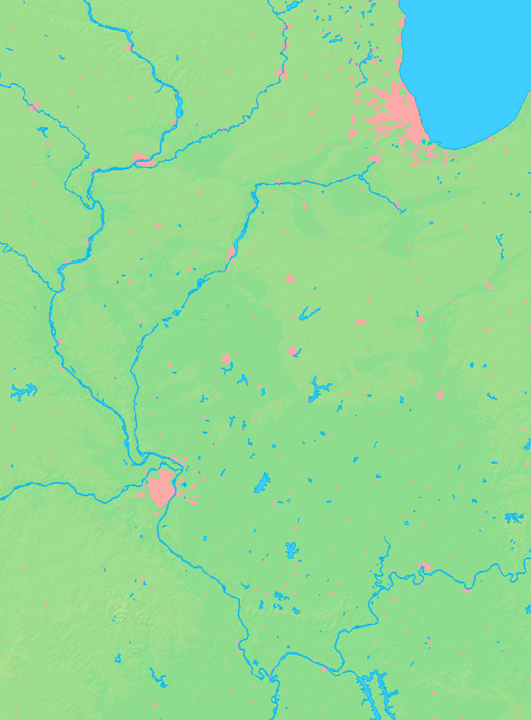
 Location of Crest Hill within Illinois
Wikimedia Commons: Crest Hill, Illinois Website: www.cityofcresthill.com Crest Hill is a city in Will County, Illinois, United States. The population was 13,329 at the 2000 census and the 2010 census population estimate was 20,867.
Contents
Geography
Crest Hill is located at 41°33′52″N 88°6′31″W / 41.56444°N 88.10861°W (41.564526, -88.108489).[1] Crest Hill decided to incorporate itself to avoid being annexed by the City of Joliet and became officially incorporated as the City of Crest Hill January 22, 1960.
According to the United States Census Bureau, the city has a total area of 7.3 square miles (19 km2), of which, 7.2 square miles (19 km2) of it is land and 0.1 square miles (0.26 km2) of it (1.51%) is water.
Demographics
As of the census[2] of 2000, there were 13,329 people, 4,478 households, and 2,758 families residing in the city. The population density was 1,861.2 people per square mile (718.8/km²). There were 4,808 housing units at an average density of 671.4 per square mile (259.3/km²). The racial makeup of the city was 69.4% (White Non-Hispanic) 19.6% (African American), 8.8% (Hispanic), 3.2% (Other), 1.4% (Two or more races), .5% (American Indian). Total can be more than 100% because Hispanics could be counted in other races.
There were 4,478 households out of which 30.2% had children under the age of 18 living with them, 45.1% were married couples living together, 12.0% had a female householder with no husband present, and 38.4% were non-families. 30.9% of all households were made up of individuals and 7.9% had someone living alone who was 65 years of age or older. The average household size was 2.37 and the average family size was 3.00.
In the city the population was spread out with 18.9% under the age of 18, 13.6% from 18 to 24, 41.2% from 25 to 44, 17.1% from 45 to 64, and 9.2% who were 65 years of age or older. The median age was 32 years. For every 100 females there were 147.7 males. For every 100 females age 18 and over, there were 157.8 males.
The median income for a household in the city was $45,313, and the median income for a family was $54,709. Males had a median income of $41,715 versus $27,667 for females. The per capita income for the city was $22,317. About 2.6% of families and 4.8% of the population were below the poverty line, including 4.8% of those under age 18 and 5.8% of those age 65 or over.
Government and infrastructure
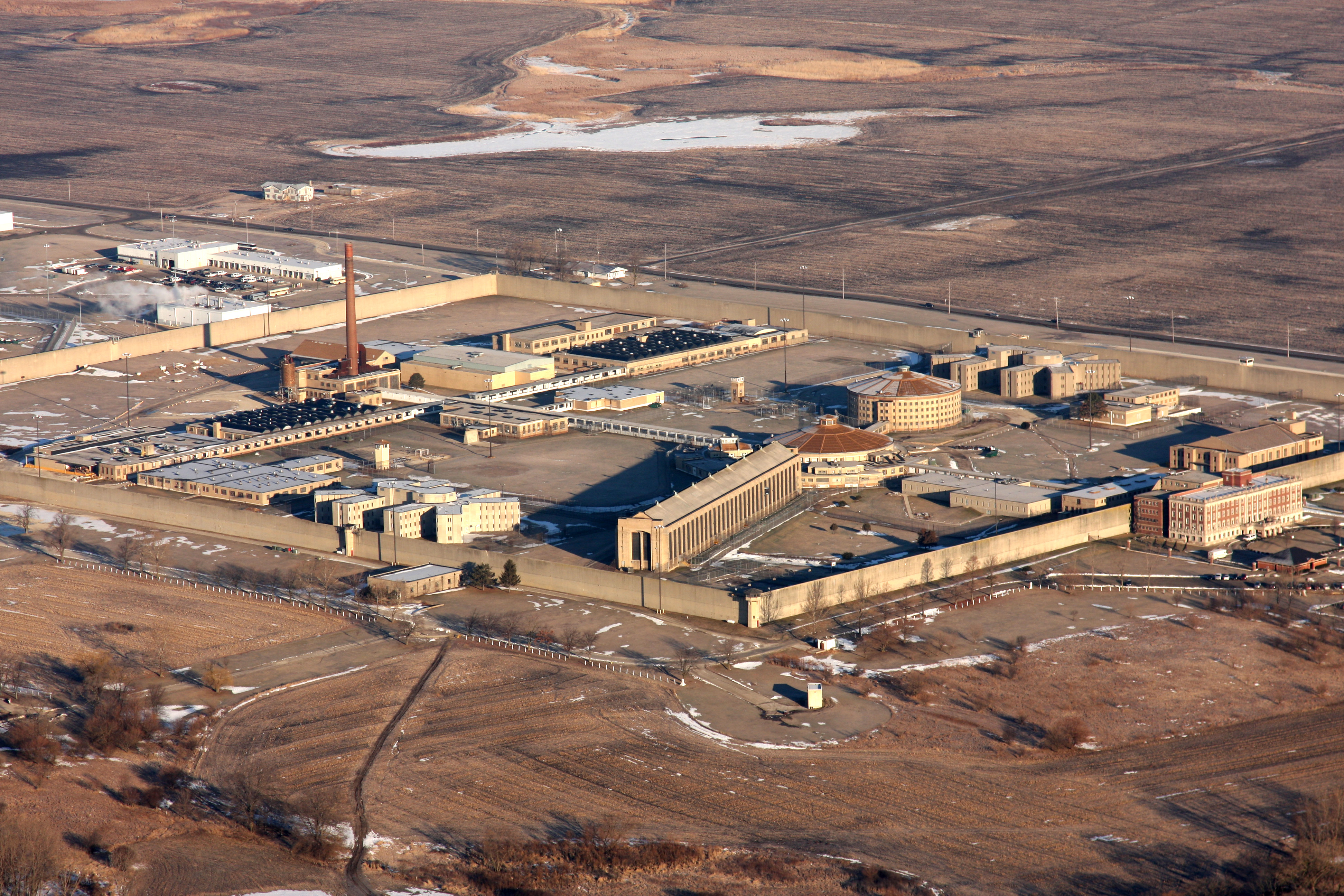
The Stateville Correctional Center is located in Crest Hill. John Wayne Gacy was put to death by lethal injection at Stateville Correctional Center in Crest Hill.[citation needed]
Notable people
- Ron Coomer, former Major League Baseball player.
- John Wayne Gacy, infamous serial killer
References
- ^ "US Gazetteer files: 2010, 2000, and 1990". United States Census Bureau. 2011-02-12. http://www.census.gov/geo/www/gazetteer/gazette.html. Retrieved 2011-04-23.
- ^ "American FactFinder". United States Census Bureau. http://factfinder.census.gov. Retrieved 2008-01-31.
External links
Municipalities and communities of Will County, Illinois Cities Aurora‡ | Braidwood | Crest Hill | Joliet‡ | Lockport | Naperville‡ | Wilmington

Villages Beecher | Bolingbrook‡ | Channahon‡ | Coal City‡ | Crete | Diamond‡ | Elwood | Frankfort‡ | Godley‡ | Homer Glen | Lemont‡ | Manhattan | Matteson‡ | Minooka‡ | Mokena | Monee | New Lenox | Orland Park‡ | Park Forest‡ | Peotone | Plainfield‡ | Rockdale | Romeoville | Sauk Village‡ | Shorewood | Steger‡ | Symerton | Tinley Park‡ | University Park‡ | Woodridge‡
CDPs Townships Unincorporated
communitiesGhost town Footnotes ‡This populated place also has portions in an adjacent county or counties
Categories:- Crest Hill, Illinois
- Cities in Illinois
- Populated places in Will County, Illinois
- Chicago metropolitan area

Wikimedia Foundation. 2010.