- John T. Loughran Bridge
Infobox Bridge
bridge_name=John T. Loughran Bridge
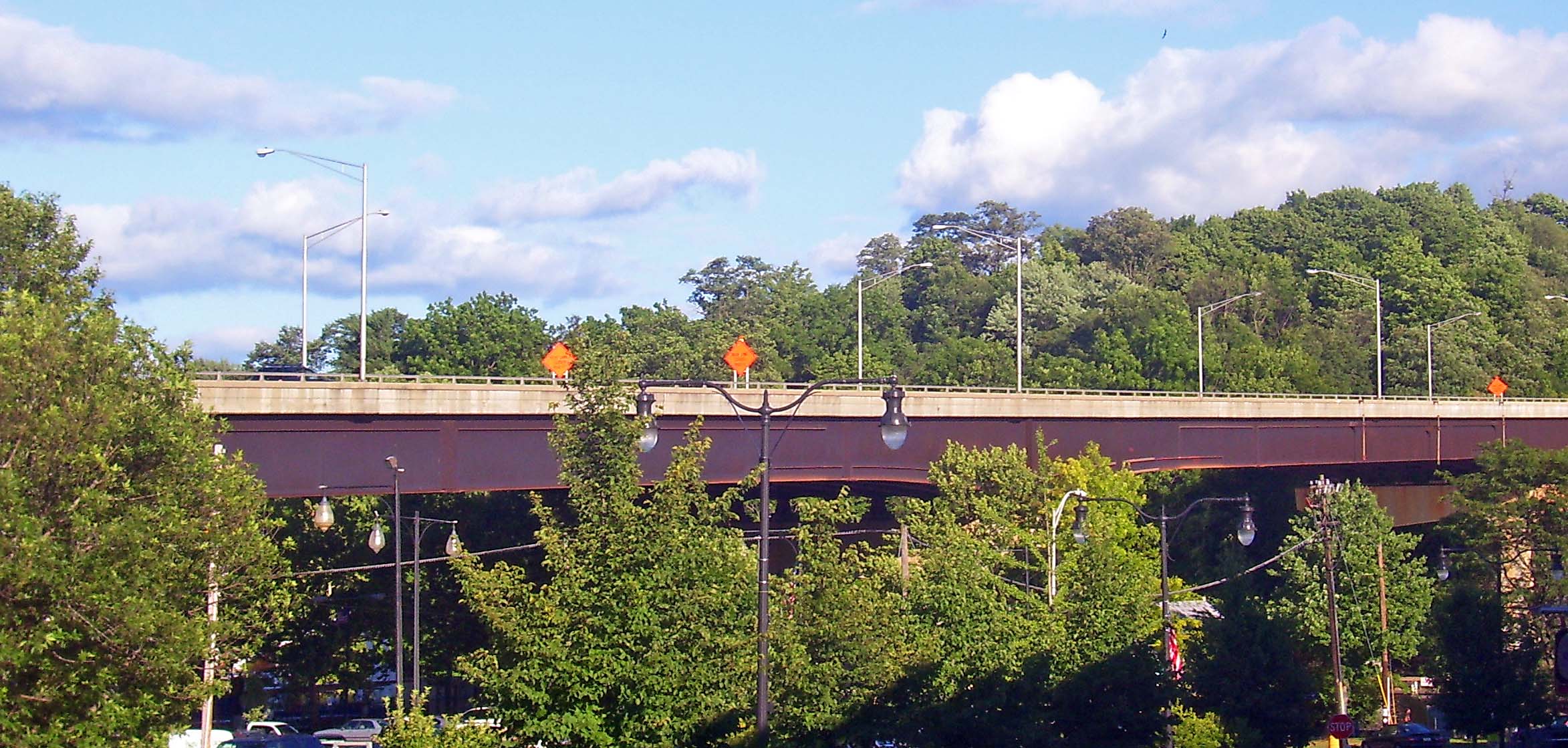
caption=Bridge seen from Broadway in Kingston
official_name=
carries=Four lanes of US 9W
crosses=Rondout Creek
locale=Kingston-Port Ewen,New York
maint=New York State Department of Transportation
id=000000001069749
design=Steel continuous truss
mainspan=973 feet (295 m)cite web |url=http://nationalbridges.com/nbi_record.php?StateCode=36&struct=000000001069749 |title=National Bridge Inventory |accessdate=2007-08-17.]
length=
width=22 m (73 ft)
height=
load=75.5 tons (68.6 tonnes)
clearance=
below=56 feet (17 m)
traffic=15056
begin=1977
complete=1979
open=1979
closed=
toll=
map_cue=
map_
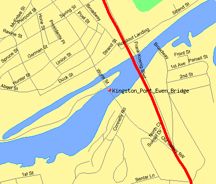
map_text=Loughran Bridge highlighted in red
map_width=200px
coordinates=coor dms|41|55|06|N|73|58|51|W
lat=
long=The John T. Loughran Bridge carries US 9W overRondout Creek between Kingston and Port Ewen,New York ,USA . It also crosses over Ferry Street on the Kingston side. It is located just downriver from the historicKingston-Port Ewen Suspension Bridge , which carried 9W until the Loughran Bridge was constructed. It is just upriver from where the Rondout empties into theHudson River .It is a continuous truss bridge with four spans, totalling 973 feet (295 m) in length. In 1979, upon its opening, it was dedicated and named for
John T. Loughran , a Kingston native whose judicial career was capped by his service as chief judge of theNew York Court of Appeals , the state's highest judicial position, from 1945 until his death in 1953.Its construction required the demolition of a few blocks of the West Strand neighborhood on the north side. This rallied preservationists to get the decaying area, once Kingston's
waterfront in the days of theDelaware and Hudson Canal , designated ahistoric district . It was later listed on theNational Register of Historic Places . Today many of the buildings have been renovated and the area is a popular destination for visitors to the city.References
External links
Wikimedia Foundation. 2010.
