- Bondville, Illinois
Geobox|Settlement
name = Bondville
native_name =
other_name =
category = Village
etymology =
official_name =
motto =
nickname =
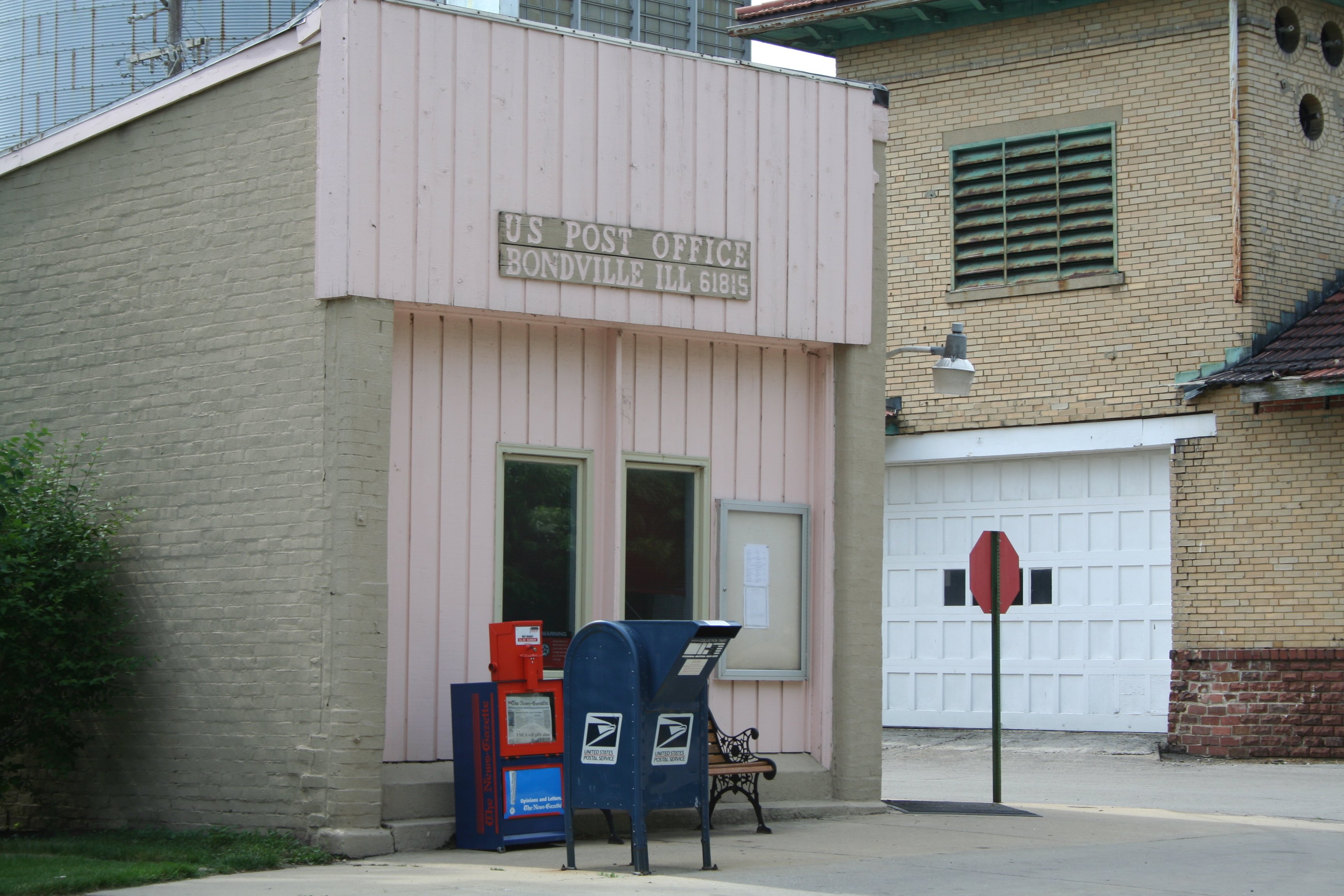
image_caption = Bondville Post Office
symbol =
country = United States
state = Illinois
region = Champaign
region_type = County
district =
district_type = Township
municipality =
location =
elevation_imperial =
prominence_imperial =
lat_d = 40
lat_m = 6
lat_s = 45
lat_NS = N
long_d = 88
long_m = 22
long_s = 7
long_EW = W
coordinates_no_title = 1
highest =
highest_location =
highest_region =
highest_state =
highest_elevation_imperial =
highest_lat_d =
highest_lat_m =
highest_lat_s =
highest_lat_NS =
highest_long_d =
highest_long_m =
highest_long_s =
highest_long_EW =
lowest =
lowest_location =
lowest_region =
lowest_state =
lowest_elevation_imperial =
lowest_lat_d =
lowest_lat_m =
lowest_lat_s =
lowest_lat_NS =
lowest_long_d =
lowest_long_m =
lowest_long_s =
lowest_long_EW =
length_imperial =
length_orientation =
area_imperial = 0.2
area_land_imperial = 0.2
area_water_imperial =
area_urban_imperial =
area_metro_imperial =
population = 455
population_date = 2000
population_urban =
population_metro =
population_density =
population_density_imperial = 1793.2
population_density_urban_imperial =
population_density_metro_imperial =
established =
date =
government =
government_location =
government_region =
government_state =
government_elevation_imperial =
government_lat_d =
government_lat_m =
government_lat_s =
government_lat_NS =
government_long_d =
government_long_m =
government_long_s =
government_long_EW =
mayor =
leader =
leader_type = Village president
timezone = CST
utc_offset = -6
timezone_DST = CDT
utc_offset_DST = -5
postal_code = XXXXX
area_code = XXX
code =
whs_name =
whs_year =
whs_number =
whs_region =
whs_criteria =
iucn_category =

map_caption = Location of Bondville within Illinois
map_background =
map_locator = Illinois
commons = Bondville, Illinois
statistics =
website =
footnotes =Bondville is a village in Champaign County,
Illinois ,United States . The population was 455 at the 2000 census.Geography
Bondville is located at coor dms|40|6|45|N|88|22|7|W|city (40.112598, -88.368500)GR|1.
According to the
United States Census Bureau , the village has a total area of 0.2square mile s (0.6km² ), all of it land.Demographics
As of the
census GR|2 of 2000, there were 455 people, 188 households, and 119 families residing in the village. Thepopulation density was 1,793.2 people per square mile (702.7/km²). There were 194 housing units at an average density of 764.6/sq mi (299.6/km²). The racial makeup of the village was 95.38% White, 0.44% African American, 1.54% Native American, 0.22% Asian, 0.44% from other races, and 1.98% from two or more races. Hispanic or Latino of any race were 1.76% of the population.There were 188 households out of which 27.7% had children under the age of 18 living with them, 48.9% were married couples living together, 9.0% had a female householder with no husband present, and 36.7% were non-families. 26.1% of all households were made up of individuals and 6.9% had someone living alone who was 65 years of age or older. The average household size was 2.42 and the average family size was 2.84.
In the village the population was spread out with 24.2% under the age of 18, 11.0% from 18 to 24, 33.2% from 25 to 44, 18.9% from 45 to 64, and 12.7% who were 65 years of age or older. The median age was 34 years. For every 100 females there were 91.2 males. For every 100 females age 18 and over, there were 93.8 males.
The median income for a household in the village was $41,250, and the median income for a family was $38,462. Males had a median income of $32,125 versus $25,536 for females. The
per capita income for the village was $17,439. About 8.3% of families and 11.9% of the population were below thepoverty line , including 21.6% of those under age 18 and 4.3% of those age 65 or over.References
External links
Wikimedia Foundation. 2010.