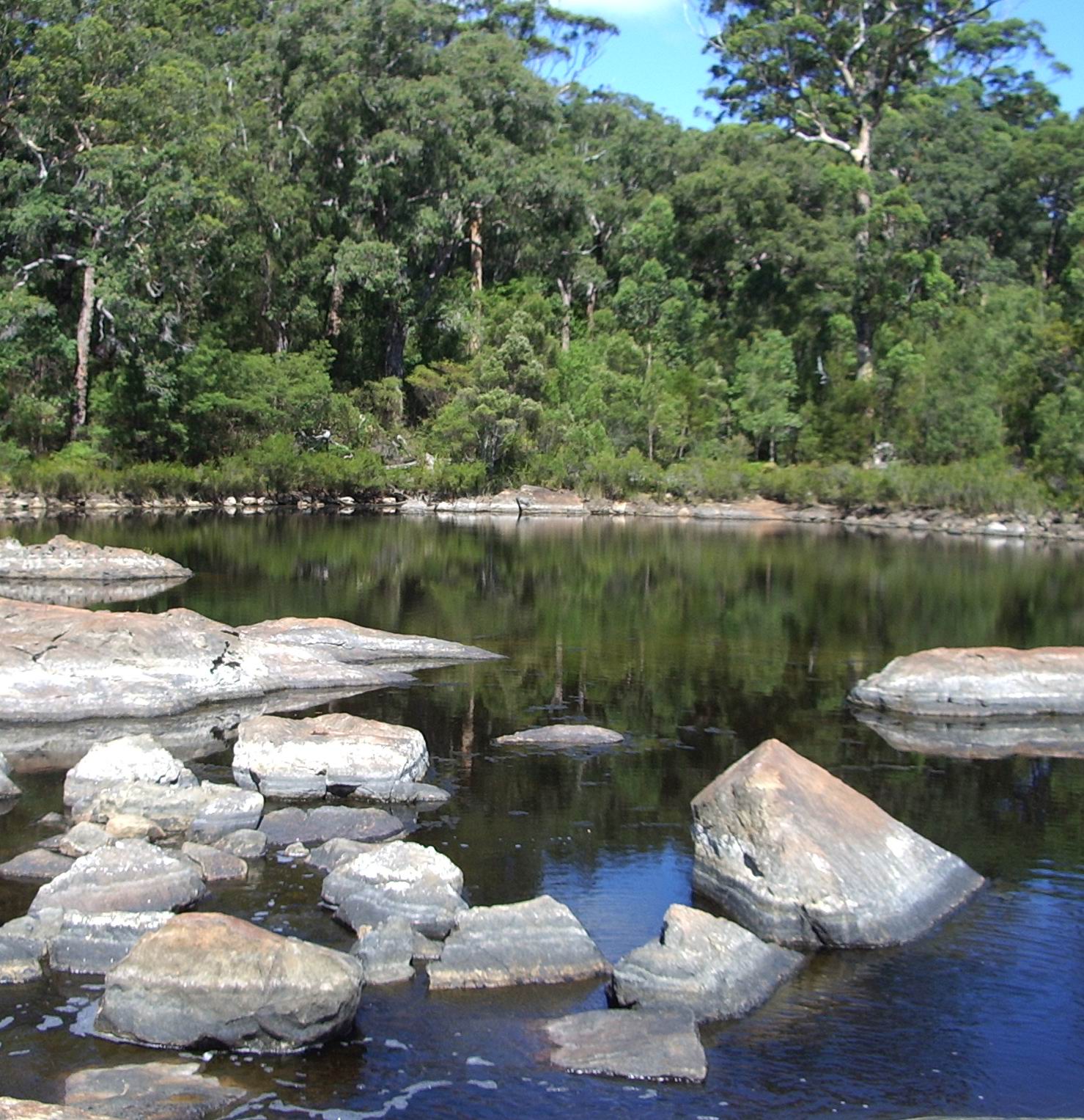
- Frankland River
Infobox River
river_name = Frankland River

caption = Circular Pool Frankland River
origin =
mouth =Nornalup Inlet
basin_countries =Australia
length = convert|162|km|mi|0|lk=on [LandInfo WA|r|F|2008-08-04 ]
elevation =
discharge = 17.7 m³/s (558,000 Megalitres/year)
watershed = 5722 km² [cite web|url=http://www.rivercare.scric.org/infodata/franklandc/franklandr/frankland.html|title=South Coast River Care - Frankland|year=2007|accessdate=2007-08-01]The Frankland River is a
river in the great southern region ofWestern Australia . The Frankland River is the largest river by volume in the region and the eighth largest in the state. [cite web|url=http://portal.environment.wa.gov.au/pls/portal/docs/PAGE/DOE_ADMIN/POLICY_REPOSITORY/TAB1144270/CONSULTATIONPAPER_V21.pdf|title= Waterways WA - Strategies for Management to WA waterways|year=2001|accessdate=2007-08-01]The Gordon River, a tributary of the Frankland river has its source south-west of the town of Broomehill.The
Walpole River , theDeep River (Western Australia) and the Frankland all flow into the Nornalup inlet west of Walpole.Many agricultural industries are located along the frankland river Dairy farming, viticulture [cite web|url=http://www.ferngrove.com.au/default.asp?V_DOC_ID=804|title=Ferngrove Wines Frankland River|year=2007|accessdate=2007-10-05] and olive farming [cite web|url=http://www.froc.com.au/|title=Frankland River Olive Company|year=2007|accessdate=2007-10-05] as a result it is estimated that 85% of the catchment has been cleared for agricultural purposes.
Salinity has increased in the river system with average values of 2 ppt in 1970's to 1980's to 30 ppt since 2000.
References
Wikimedia Foundation. 2010.
