- Calera de Víctor Rosales
Infobox Settlement
official_name = Municipality of Calera de Víctor Rosales
other_name = Calera
native_name =
nickname =
settlement_type = Municipality
motto =
imagesize =
image_caption =
flag_size =
image_
seal_size =
image_shield =
shield_size =
city_logo =
citylogo_size =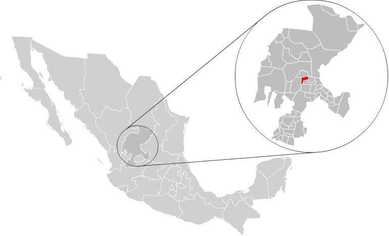
mapsize =
map_caption = Location of Calera with inZacatecas and Mexico
mapsize1 =
map_caption1 =
image_dot_
dot_mapsize =
dot_map_caption =
dot_x = |dot_y =
pushpin_
pushpin_label_position =
pushpin_map_caption =
pushpin_mapsize =
subdivision_type = Country
subdivision_name = MEX
subdivision_type1 = State
subdivision_name1 =Zacatecas
subdivision_type2 = Municipal seat
subdivision_name2 = Víctor Rosales
subdivision_type3 = Largest city
subdivision_name3 =Víctor Rosales
subdivision_type4 =
subdivision_name4 =
government_footnotes =
government_type =
leader_title = Municipal President
leader_name = Horacio Mejia Haro, PRD
leader_title1 =
leader_name1 =
leader_title2 =
leader_name2 =
leader_title3 =
leader_name3 =
leader_title4 =
leader_name4 =
established_title =
established_date =
established_title2 = Municipality
established_date2 =1868
established_title3 =
established_date3 =
area_magnitude =
unit_pref =
area_footnotes =
area_total_km2 = 389
area_land_km2 =
area_water_km2 =
area_total_sq_mi =
area_land_sq_mi =
area_water_sq_mi =
area_water_percent =
area_urban_km2 =
area_urban_sq_mi =
area_metro_km2 =
area_metro_sq_mi =
area_blank1_title =
area_blank1_km2 =
area_blank1_sq_mi =
population_as_of = 2005
population_footnotes =
population_note =
population_total = 36106
population_density_km2 =
population_density_sq_mi =
population_metro =
population_density_metro_km2 =
population_density_metro_sq_mi =
population_urban =
population_density_urban_km2 =
population_density_urban_sq_mi =
population_blank1_title = Largest city
population_blank1 = 29626Víctor Rosales
population_density_blank1_km2 =
population_density_blank1_sq_mi =
timezone = CST
utc_offset = -6
timezone_DST =
utc_offset_DST =
latd=23 |latm=26 |lats=02 |latNS=N
longd=102 |longm=55 |longs=10 |longEW=W
elevation_footnotes =
elevation_m = 2174
elevation_ft =
postal_code_type = Postal Code
postal_code = 98500-98508, 98510, 98515, 98520
area_code = 478
blank_name =
blank_info =
blank1_name =
blank1_info =
website = http://www.calera.gob.mx/
footnotes =Calera is one of the 58 municipalities in the state of
Zacatecas ,Mexico . It is located on the central part of the state of Zacatecas and it is bounded by the municipalities of General Enrique Estrada, Fresnillo, Villa de Cos, Pánuco, Morelos and Zacatecas. The municipality covers a total surface area of km2 to sq mi|389 [ [http://www.e-local.gob.mx/work/templates/enciclo/zacatecas/municipios/32005a.htm "Calera", Encyclopedia de Municipios ] ] . The municipality makes up for 0.5% of the area of the state ofZacatecas .History
Calera was born as a point of pass from
Fresnillo and Zacatecas.Population
In the 2005 census Apulco, reported a population of 36,106. [http://www.inegi.gob.mx/est/contenidos/espanol/sistemas/conteo2005/localidad/iter/ Link to tables of population data from Census of 2005] INEGI: Instituto Nacional de Estadística, Geografía e Informática] Of these, 29,626 lived in the municipal seat and the remainder lived in surrounding rural communities.
References
Wikimedia Foundation. 2010.