- Lumphat District
Infobox Cambodian district
name = Lumphat
khmer_name = លំផាត់
alt_name =
transliteration_prefix =
alt_transliterations =
image_size =
image_caption =
district_locator_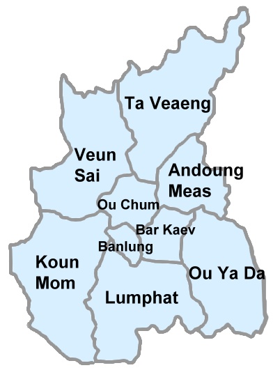
district_locator_size = 180px
province_locator_
province_locator_size = 200px
province = Ratanakiri
district_code = 1605
communes =Chey Otdam ,Ka Laeng ,La Bang Muoy ,La Bang Pir ,Pa Tang ,Seda
leader_name =
leader_title =
established_type =
established_date =
founder =
named_for =
area_km2 =
area_footnotes =
elevation_m =
elevation_footnotes =
elevation_max_m =
elevation_min_m =
population = 10,301
population_date = 1998
population_footnotes =
population_density_km2 =
latd= |latm= |lats= |latNS = N
longd= |longm= |longs= |longEW=ELumphat ( _km. លំផាត់) is a district in
Ratanakiri Province , northeastCambodia . As of 1998, it had a population of 10,301.Lomphat, the former capital of Ratanakiri, is located in the district on the
Srepok River . The town is home to less than 800 people. The district gives its name to theLomphat Wildlife Sanctuary , a preservation area for the many unique species indigenous to Northeast Cambodia.Administration
The district is subdivided into six communes ("
khum ") [ [http://www.nis.gov.kh/areaname/com_pro01.htm National Institute of Statistics] ] , which are further subdivided into 26 villages ("phum ").References

Wikimedia Foundation. 2010.