Shield (disambiguation) — Shield may refer to:Protection* Shield, a hand held protective device meant to intercept attacks * Electromagnetic shielding * Shielded cable * Energy shield * Deflector shield, a protective energy field * Heat shield, which protects a spacecraft … Wikipedia
List of places in County Durham — Location map+|County Durham caption = Some of the larger settlements of County Durham. float = right width = 400 places = Location map |County Durham label = Barnard Castle long = 1.92 lat = 54.55 background = white Location map |County Durham… … Wikipedia
Killhope Wheel — is a huge working water wheel within the North of England Lead Mining Museum, at Killhope in Weardale, County Durham, England.Killhope is in the heart of the North Pennines an Area of Outstanding Natural Beauty and designated the first Geopark in … Wikipedia
North of England Lead Mining Museum — Coordinates: 54°46′59″N 2°16′23″W / 54.78306°N 2.27306°W / 54.78306; 2.27306 … Wikipedia
Liste des villes du comté de Durham — C est la liste des villes, villages et hameaux du comté de Durham. Sommaire : Haut A B C D E F G H I J K L M N O P Q R S T U V W X Y Z A Aislaby, Allensford, Annfield Plain … Wikipédia en Français
Brotherlee — is a small village in County Durham, in England. It is situated on the south side of Weardale, between Stanhope and Daddry Shield … Wikipedia
St John's Chapel, County Durham — infobox UK place country = England official name= St John s Chapel static static image caption= St Johns Chapel latitude= 54.73681 longitude= 2.18003 population = shire district= Wear Valley region= North East England shire county = County Durham … Wikipedia
List of crossings of the River Wear — This is a list of crossings of the River Wear, heading downstream, including road and rail bridges and fords.Wearhead to Stanhope* Wearhead Bridge (road) * West Blackdene Bridge (road, foot?) * Ireshopeburn Bridge (road?, foot?) * Coronation… … Wikipedia
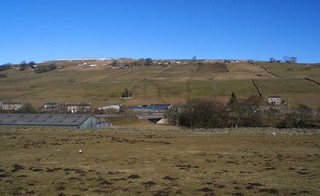
 Daddry Shield and surrounds