- Tamworth Central Business District, New South Wales
Infobox Australian Place | type = suburb
name = Tamworth Central Business District
city = Tamworth
state = nsw
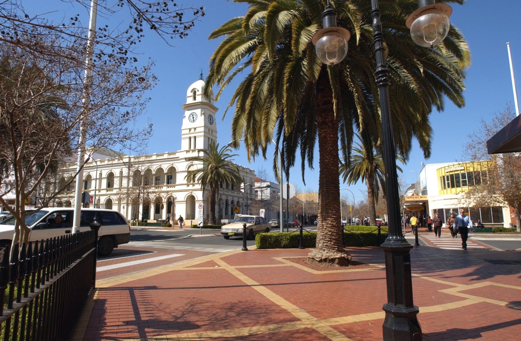
caption = Peel St
lga =Tamworth Regional Council
postcode = 2340
est =
pop =
area =
propval =
stategov = Tamworth,
fedgov = New England
near-nw = North Tamworth
near-n = East Tamworth
near-ne =
near-w = North Tamworth
near-e = Nemingha
near-sw = Taminda
near-s = West Tamworth
near-se =
dist1 =
location1= The Tamworth Central Business District is a suburb of Tamworth,New South Wales ,Australia , in the city centre and is located north of the Peel River. It is primarily a business area of Tamworth, with many shops, restaurants, car dealerships, as well as shopping centres and public facilities. TheTamworth Regional Council has its headquarters in Peel St at Ray Walsh House. Bicentennial Park and number one cricket oval are also located in the suburb.Peel St
The majority of shops and shopping centres are located along the main street Peel St. Named after former English Prime Minister
Robert Peel , it was refurbished in the 1990s as part of the city's urban and streetscape renewal.There are approximately a few hundred shops in the main street, as well as restaurants, street cafés and banks. These include a large Target (formally Grace Bros.), ANZ, Commonwealth, Westpac & St George Banks, and many more.hopping Centres
* Centrepoint Shopping Centre - A $35 million shopping centre began construction in early 2007 and will be complete by early 2008 behind the Tamworth Town Hall, in the CBD between the old city library and behind the specialty shops in the main street Peel st. The shopping centre will link up with the current small Centrepoint Arcade through which access to Peel St will be and the entire centre will be known as Centrepoint Shopping Centre.
Franklins supermarket will open in the centre as well as 5 cinemas & a performing arts centre/theatre that also doubles as a cinema, 6 restaurants, food court & 40 specialty shops .* Tamworth City Plaza - Is located in the (CBD) with 42 shops including Coles, Kmart, Liquor Land, fresh food shops, retail shops, services and a food court.
*Tamworth Arcade - Is located in the CBD with entrances from Peel St, and Kable Avenue. It is known for its quality shops and settings. The centre is scheduled for an upgrade in early 2008.
Public Institutions
*Tamworth Regional Library
*Tamworth Regional Art Gallery.port
*Tamworth Kangaroos AFL Team
*Tamworth Swans AFL Team
*TamworthVelodrome
*Number OneCricket Oval
*Tamworth City Pool
Wikimedia Foundation. 2010.