- Mont Lozère
-
Mont Lozère 
Elevation 1,699 m (5,574 ft) Location Lozère, France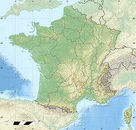
 Mont Lozère
Range Cévennes Coordinates 44°25′34″N 3°44′21″E / 44.42611°N 3.73917°ECoordinates: 44°25′34″N 3°44′21″E / 44.42611°N 3.73917°E Climbing First ascent August 8, 1825 Easiest route Las Neous glacier
Mont Lozère (Occitan: Mont Losera) is the highest peak in the Cévennes National Park of France. There is also a secondary peak, at 1,699 metres (5,574 ft).Mont Lozère is commonly used for skiing during the winter months. It is also a popular destination for school/college/university groups during the summer months . It offers some stunning natural scenery and is covered by coniferous plantations and 'broom'scrub moorland.
 The mont Lozère in winter seen from the south of the Aubrac plateau.
References
Categories:- Massif Central
- Lozère
- Lozère geography stubs


Wikimedia Foundation. 2010.