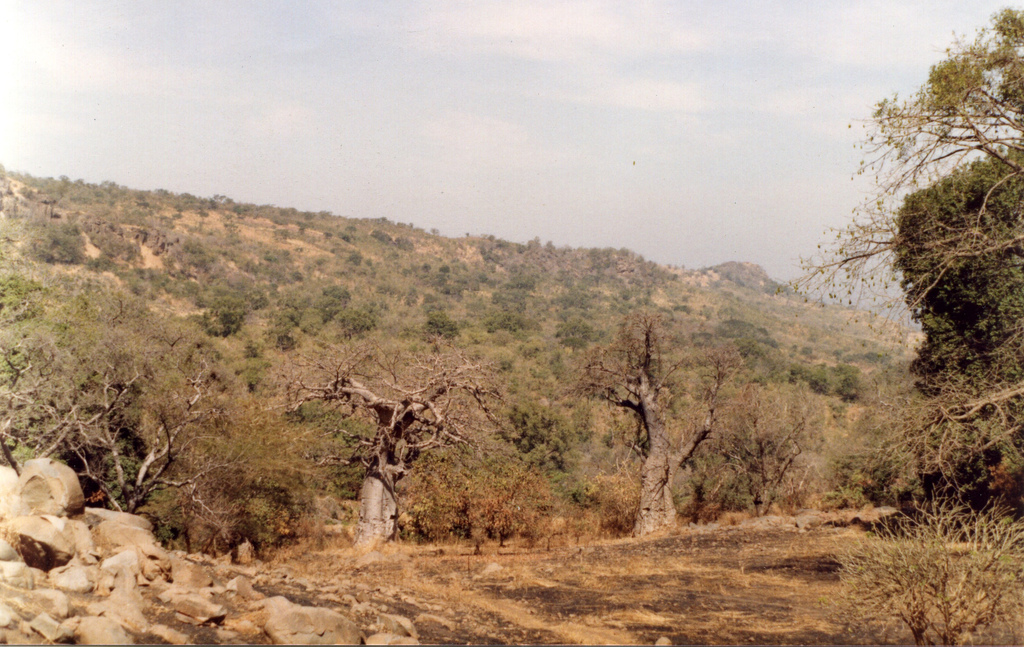
- Bandafassi
Infobox Settlement
official_name =PAGENAME
native_name =
imagesize = 300px
image_caption =
image_
map_caption =
pushpin_
pushpin_label_position =bottom
pushpin_mapsize = 300
pushpin_map_caption =Location in Senegal
subdivision_type = Country
subdivision_type1 = Region
subdivision_name =
subdivision_name1 =Tambacounda Region
subdivision_type2 = Department
subdivision_name2 =Kédougou Department
established_title =
established_date =
government_type =
leader_title =
leader_name =
area_magnitude =
area_total_sq_mi =
area_total_km2 =
area_land_sq_mi =
area_land_km2 =
area_urban_sq_mi =
area_urban_km2 =
area_metro_km2 =
area_metro_sq_mi =
population_as_of=
population_footnotes =
population_total =
population_urban =
population_metro =
population_density_sq_mi =
population_density_km2 =
timezone =
utc_offset =
timezone_DST =
utc_offset_DST =
latd=12|latm=19|lats=|latNS=N
longd=12|longm=19|longs=|longEW=W
elevation_footnotes=
elevation_m =
elevation_ft =
postal_code_type =
postal_code =
area_code =
website =
footnotes =Bandafassi is town in south-eastern
Senegal about 750 km fromDakar near the borders withMali andGuinea .<. It constitutes about half of the territory of the Arrondissement of Bandafassi of theKédougou Department , eastern Senegal, [http://www.indepth network.net/dss_site_profiles/bandafassi.htm Bandafassi DSS, Senegal] , INDEPTH Network profile] [http://www.idrc.ca/en/ev-43036-201-1-DO_TOPIC.html BANDAFASSI DSS, SENEGAL] ] The area constitutes the Bandafassi DSS (demographics surveillance site) of theINDEPTH Network .The population includesethnic group sBedick (Bedik ),Mandinka andFula Bande .References
External links
* [http://www.maplandia.com/senegal/tambacounda/bandafassi/ Satellite map at Maplandia.com]
Wikimedia Foundation. 2010.

