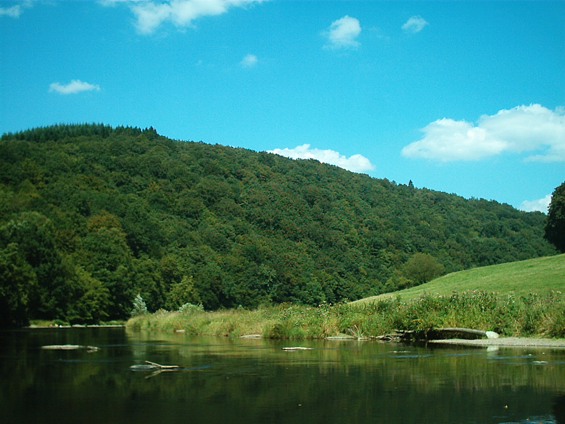
- Semois
Infobox River | river_name = Semois

caption = Kayaking on the Semois.
origin =Ardennes
mouth = Meuse
coord|49|52|48|N|4|44|19|E|name=Meuse-Semois|display=inline,title
basin_countries =Belgium ,France
length = 210 km
elevation = 410 m
discharge = 26 m³/s
watershed = 1,329 km²The Semois ("Simwès" in Walloon; "Semoy", "Sesbach" in German; and known as the "Semoy" in France) is a river flowing from theArdennes uplands ofBelgium andFrance towards the River Meuse, of which it is aright tributary .The source of the Semois is at
Arlon in the Belgian province of Luxembourg, close to the border with the Grand Duchy of Luxembourg. Flowing in a roughly westerly direction, it enters France after passing through the Belgian village of Bohan-sur-Semois and joins the Meuse some 10 km further downstream atMonthermé . The total length of the river is 210 km.Other places on the banks of the Semois are
Chiny ,Florenville ,Herbeumont ,Bouillon (including the localities ofDohan andPoupehan ), andVresse-sur-Semois (all in Belgium).The name is of Germanic origin and derives from the words "sach" (point, knife) and "mari" (water, stream), thus meaning the "stream with (stones like) knife-points". Early written forms include "Sesomirs" (664), "Sesmarus" (950), "Sesmoys" (1104), and "Semoir" (1244).
The river has given its name to a variety of tobacco grown in the area.
References
*http://www.geoportail.fr
* [http://sandre.eaufrance.fr/app/chainage/courdo/htm/B6--0100.php?cg=B6--0100 The Semois at the Sandre database]
Wikimedia Foundation. 2010.
